The story
A trip to Lake Serre-Ponçon
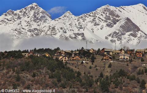
Today, Saturday 1 March, I look out of the window at the falling rain; this winter there has been no cold, no snow, but for weeks rain, rain, rain by the bucketful: I can't take any more of it!!! My husband, who is listening to me, replies: you want to go out for a trip — tell me where? In the previous days I had looked at some itineraries on Google Maps and photos on Panoramio, so I toss out: to Lake Serre-Ponçon; let's check the weather for tomorrow, Sunday — the forecast is sunshine all day. Sunday 2 March Villa Cortese, tour of the lake and back, 720 km We set off from Villa Cortese at 8; the sky is cloudy, but when we reach the Montgenèvre pass the sun is shining, there are metres of snow, and lots of French people are having fun on the slopes.
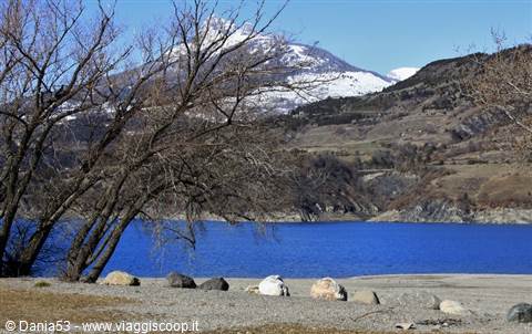
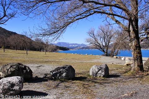
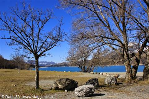
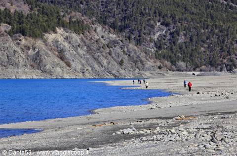
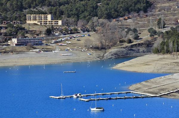
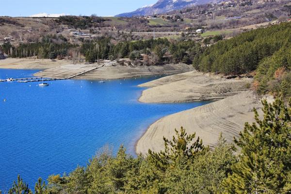
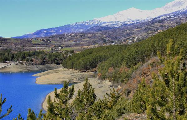
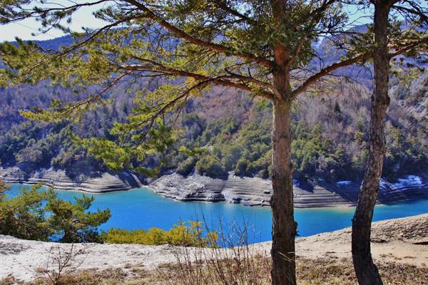
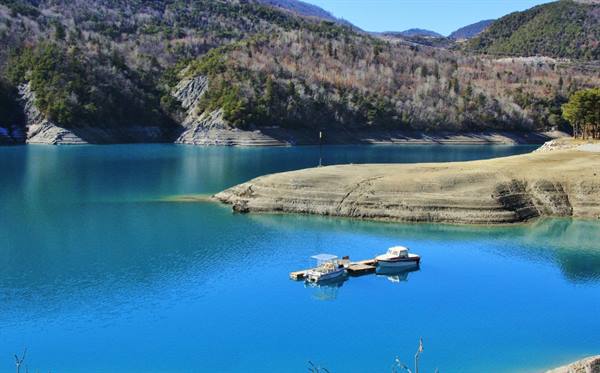
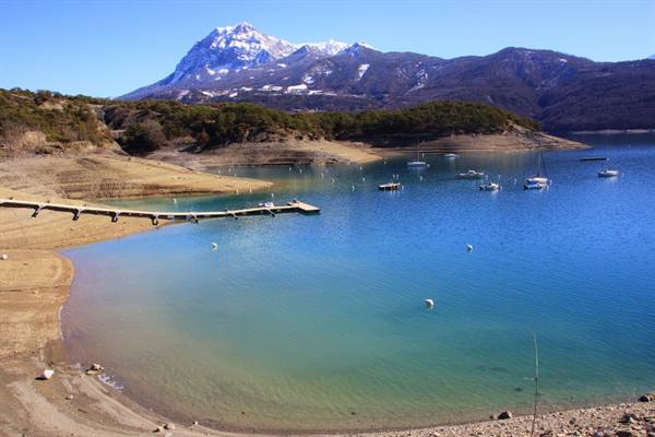
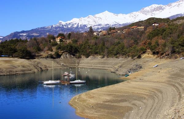
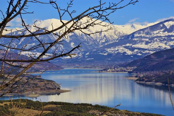
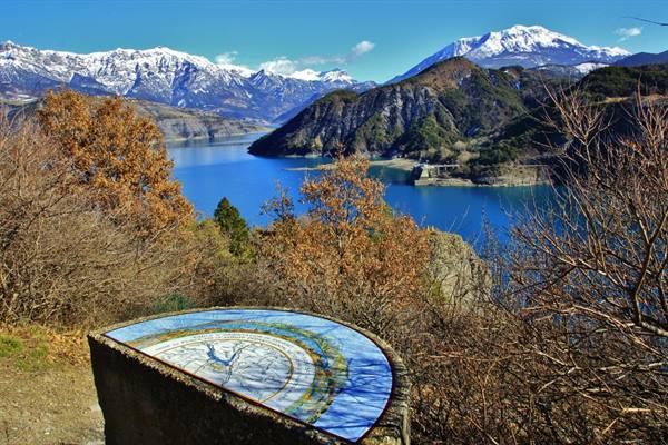
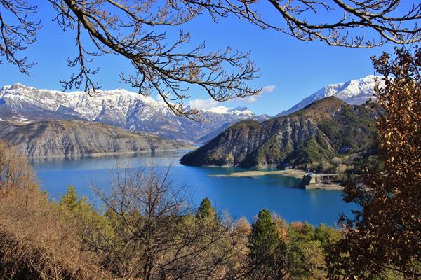
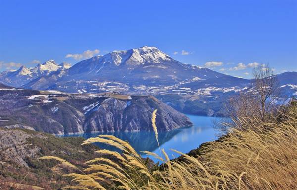
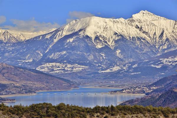
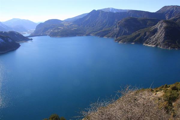
We pass by Briançon and cross the valley surrounded by mountains dusted with snow and all the little villages along the N94 road, and we admire the town of Embrun, built on a plateau with sheer walls overlooking the Durance river before it flows into the artificial lake of Serre-Ponçon, one of the largest in Europe. The lake is fed by the Durance and Ubaye rivers and is surrounded by the mountains of the Hautes-Alpes and the Alpes-de-Haute-Provence. Before reaching Savines-le-Lac we stop in a large open free area for a snack and a walk; this is one of the equipped spots where various water sports are practised — canoeing, rafting, water skiing — and the wind conditions seem very favourable for sailing, surfing and kitesurfing.
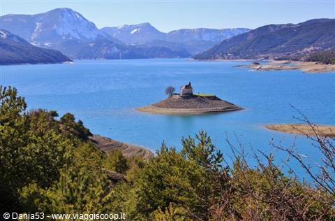
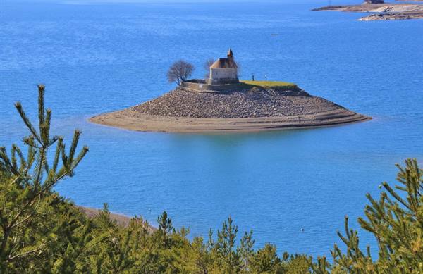
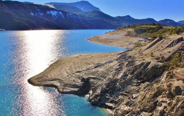
From Savines-le-Lac, rebuilt after the old village was covered by water, we begin the tour of the lake; we cross the Savines bridge that links the two shores and, along the N94 road, we travel the northern part that skirts the lake, where several small coves can be seen. We turn off at the sign for the Lerostou campsite; here, climbing onto an embankment, you get a beautiful view of the bay, where the picturesque Chapelle Saint-Michel stands on a small island, saved from the flooding of the valley because it was originally built on a hill at a height slightly above the maximum level foreseen for the filling of the lake. When the water level drops to its minimum you can reach it on foot; the best view of the chapel is from inside the campsite on the shores of the lake.
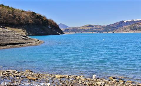
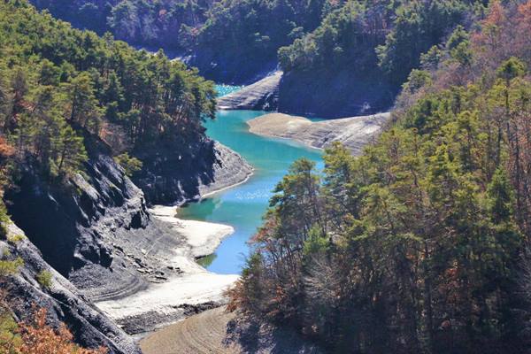
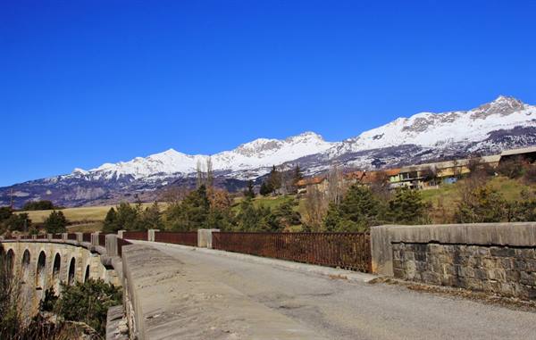
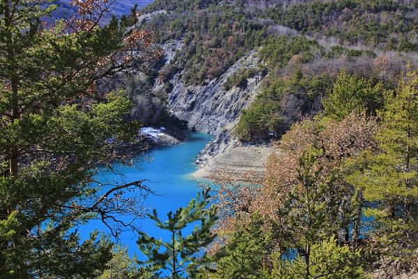
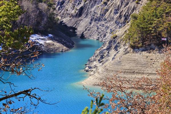
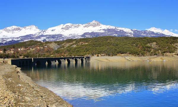
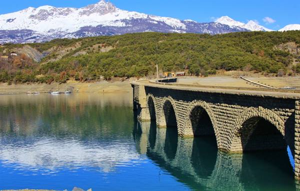
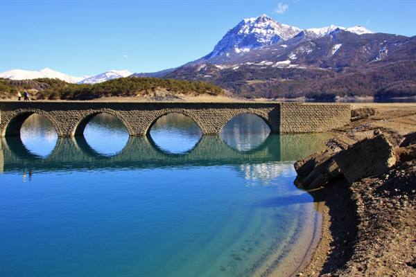
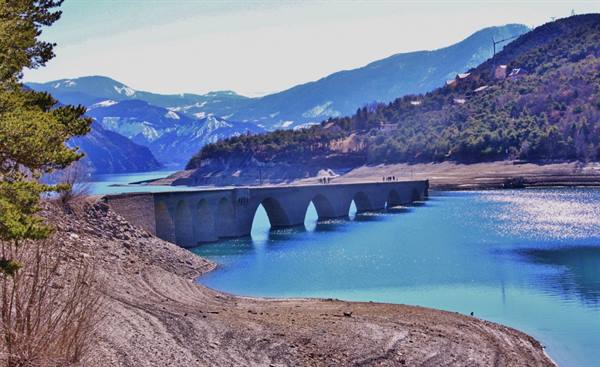
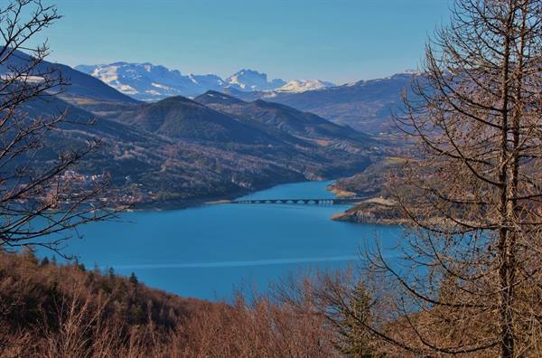
We continue along the N94 and then the D3 to the turn-off for Chanteloube and the bay des Moulettes; the road runs parallel to the inlet where the Moulettes stream flows before emptying into the lake. At some points, where the vegetation thins out, the view opens onto the basins, the crannies and the rock faces marked by the flow of the water in a brilliant blue. At the entrance to the bay we see the Chanteloube viaduct, a stone bridge 234 m long with 14 arches that links the two shores. It was originally built for the railway line that was to connect Chorges to Barcelonnette; the line was never completed, and construction was interrupted when France closed most of its local lines. When the lake is at its maximum level the bridge is completely submerged; at the moment it is partly out of the water and it is possible to walk across it to reach the other shore.
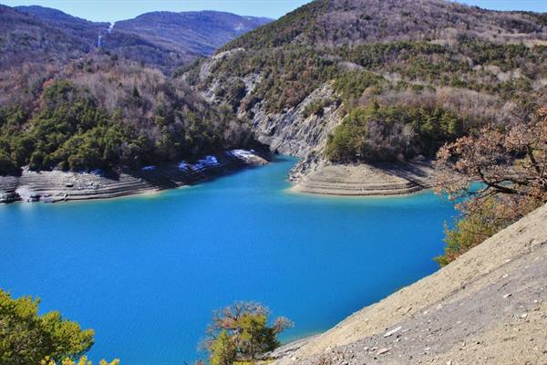
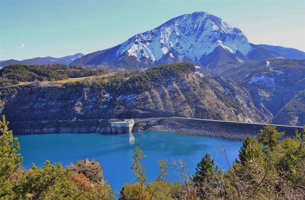
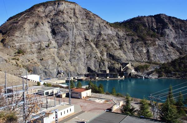
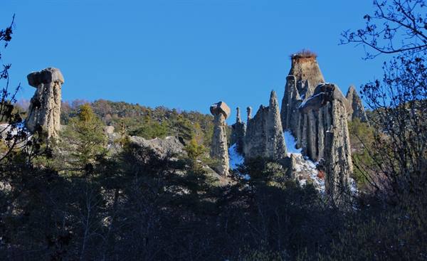
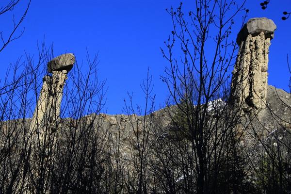
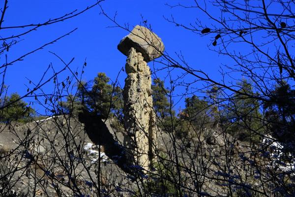
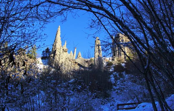
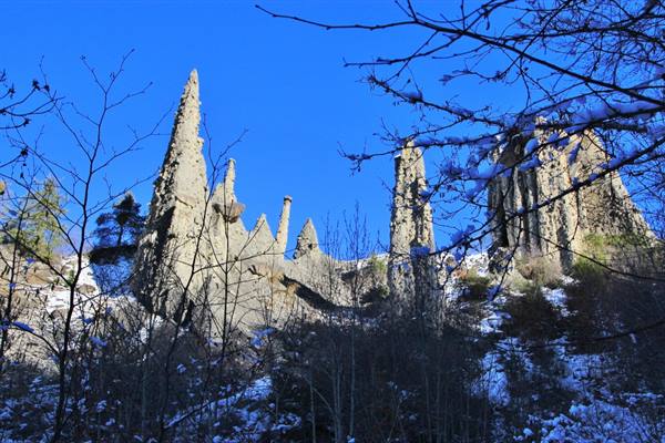
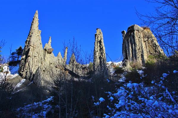
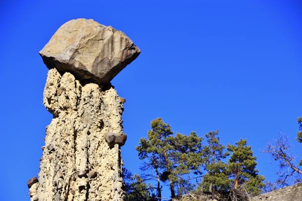
The road continues, always offering beautiful, wild panoramas, as far as the gigantic and unusual dam built of earth and impermeable clay, 123 metres high. We continue, crossing the bridge over the Durance and following the D900b to the junction with the road for Barcelonnette, where we take the D954; we stop at the Le Sauze-du-Lac viewpoint and, a few kilometres later, at the Demoiselles Coiffées. The Demoiselles Coiffées, also called fairy chimneys, are a group of often large, crumbly columns with hat-shaped blocks on top that protect them from the erosive action of the rain; for this reason they are also fancifully called young ladies with hats. The site is constantly evolving: soil erosion and bad weather contribute to their destruction.
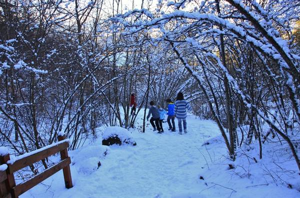
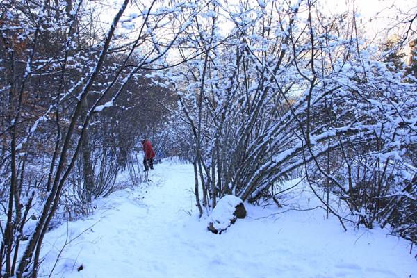
To admire them we climb a staircase of about 250 metres starting from the edge of the road; the upper part, warmed by the sun, is free of snow, while the lower part, covered in ice, makes the climb difficult, which is why we cannot get close to the Demoiselles. A few more kilometres and we are back at Savines-le-Lac; the tour of the lake is over, a lake that astonished us with its beauty.
The journey's photographs
44 photographs · click to open them full screen
0 reader comments