The story
From Bidderosa all the way to Cala Goloritzè... all the beaches of the Gulf of Orosei.
For this trip I used: (for information on the places)
(tips on where to stay)
The beaches of the Gulf of Orosei are truly many. From Bidderosa to Cala Fuili they can all easily be reached by car. Those from Cala Luna onwards, however, can be reached with one of the many ferries departing from La Caletta di Siniscola, from Orosei, from Cala Gonone (the seaside hamlet of Dorgali) or from Santa Maria Navarrese (the seaside hamlet of Baunei). For anyone who wants them, these last beaches can also be reached overland on foot via routes that can range from 2 to 5 hours of walking (see some of the itineraries offered in the Itineraries and Sport section of the site. The effort will undoubtedly be repaid by the splendid scenery that will lie before you. The coastline of the Gulf of Orosei has as its main feature the remarkable variety of landscapes.
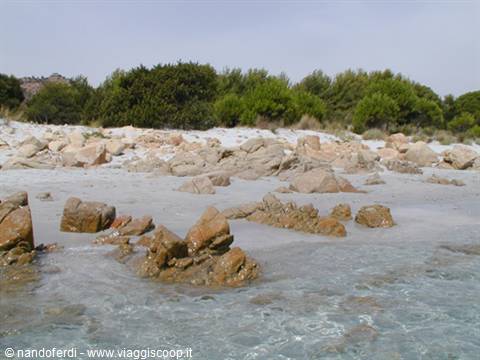
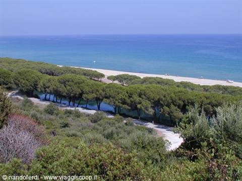
Starting from the north, the coast begins in a complex way, hiding a series of small coves covered with very fine, silvery sand, backed by a green pine wood: these are the famous beaches of Bidderosa (included within a forest park), Sa Curcurica, Cala Ginepro, Cala Liberotto. Further on, the following stops are the small inlet of Sas Linnas Siccas and the cove of Fuile 'e Mare, where the pink granite seabed ends; this accounts not only for the exceptional brightness of the sea floor but also for a rich range of colours in the surrounding landscape. From here, for about 7 km, the coast becomes jagged because of the dark basalt flows, ceaselessly shaped and churned by the force of the sea. It ends at its southern end with the mouth of the river Cedrino.
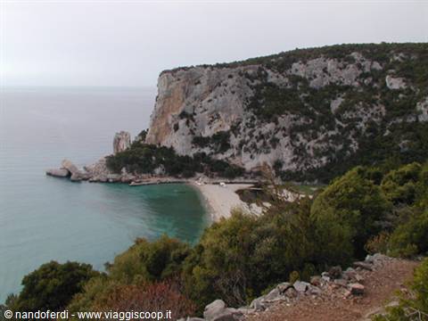
At this point, with the beach of Santa Maria, a stretch of coast begins (about 4 km) that reaches as far as Cala Osalla, where the beaches are made up of long, wide strips of granite sand with dunes (at points even two or three metres high) and largely accompanied by pine wood and a long pond. From Cala Osalla onwards, the beaches we find are nothing other than the terminal part of narrow valleys, opened up by watercourses, among the hills that push right down to the coast. From here, in fact, the coast is articulated in high cliffs and small beaches, mostly pebbly like those called Ziu Martine and Cala Fuili (the last of the beaches reachable by car). Continuing still southwards, past the famous Grotta del Bue Marino, you reach the beach of Cala Luna, overlooked to the north by the rock of Fruncu Nieddu and to the south by that of Su Masongiu.
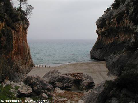
After another 4/5 km of high cliffs sheer above the sea you reach Cala Sisine which, unlike the previous cove, has a less arched front and pushes inland in a triangular shape. From here on the coast doesn't change its features. Kilometres and kilometres of high cliffs broken every now and then by small coves. In particular, the little beaches of Cala Birìola and Cala Goloritzè are worth noting, with their characteristic rock arches. Between the two coves, don't forget the well-known Cala Mariòlu, with its beach broken up by enormous boulders and with very high, impassable rock faces behind it. Finally, the southern end of the Gulf of Orosei is marked by the high point of Capo Monte Santu, among whose rocks some long fjords open up, the best known of which is Porto Cuau (Porto Nascosto). For information on the places: For tips on where to stay: and
The journey's photographs
6 photographs · click to open them full screen


0 reader comments