The story
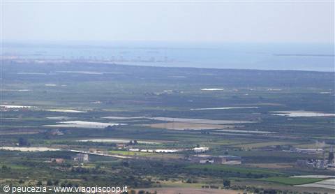
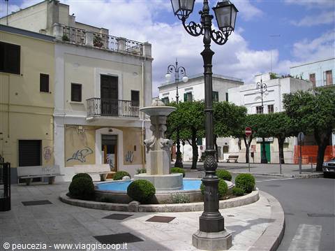
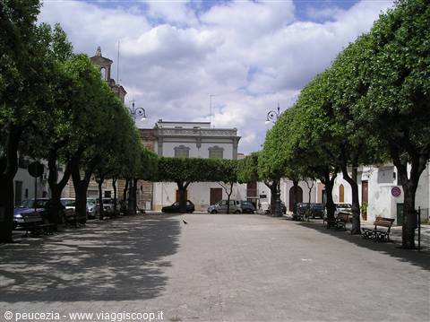
Already visited on the occasion of the guitar festival in the Schiavonia area, here is Mottola again, a small town a few kilometres from Taranto, a stop before reaching the Monte Sant'Elia oasis. Thanks to its magnificent geographical position (the hill rises 387 metres above sea level), from which the gaze can range from the Gulf of Taranto to the green of the mountains of the upper Sila, it is called the "Spy of the Ionian" and also the "Balcony of southern Puglia". It has a circular layout. It develops in terraces towards the centre of the town. As for the interpretation of the place name, some scholars believe that the present settlement of Mottola derives from "height" or "rocky mass".
Mottola has seen its territory and its urban settlement affected by human presence since prehistoric times, as attested by the numerous archaeological finds recovered, which would confirm it as one of the first settlements to arise in the region. The human presence on the hill during the Iron Age (1st millennium BC) can be inferred from a precious collection of bronzes (currently kept at the National Museum of Taranto) recovered in 1899, during the excavation of the foundations of Palazzo D'Onghia (today between via Mazzini and via D'Acquisto, a place once called "Orto del Vescovo") and studied in 1903 by Quagliati. An Apulian Peucetian settlement is coming to light in the contrada S. Basilio, following the excavations of the Archaeological Superintendency of Taranto.
It is still too early to formulate exhaustive theories, but the discovery further confirms the frontier position of the Mottola territory, placed between the Tarantine chora and the indigenous populations. The classical settlement of Mottola is attested by the discovery (1899) of substantial squared blocks that represent the probable remains (about 40 metres long) of the ancient Hellenistic-era city wall, presumably dating to the 4th century BC and returned to public use in 1995. The discovery of
The journey's photographs
13 photographs · click to open them full screen




0 reader comments