Lima, Huaraz, Pisco, Nazca, Arequipa, Puno, Cusco, La Paz
When
2 Aug 2006 – 1 Sep 2006 31 days · trip of 2006
Who
Bruno Visca · @Bruno · Germagnano (TO)
How
Travel diary
The story · 19 days
... the true travellers are only those who set off for the sake of setting off; light hearts, like hot-air balloons, they never separate from their fate, and without knowing why, they always say "Let's go", their desires have the shapes of clouds... Charles Baudelaire
I had already been to Peru in 2000. At first, when I was asked to organise a trip to those places, I thought that perhaps it was better to choose new destinations, to visit countries not yet known. Then, reflecting on Baudelaire's thought, I answered: "Let's go"! When you return to a country you have already seen you always fear being disappointed by the changes you inevitably find, by the Western lifestyle that little by little invades even the most remote places. Certainly, especially in the most touristy places, visitors have increased and, consequently, so have the accommodation facilities. But the charm of the Cordillera, of the deserted and barren Pacific coast, of the highlands and of the Amazon rainforest has not changed. The first thing that strikes you is the rise in prices, which over these six years have gone up quite a lot.
One example for all: the entrance ticket for Machu Picchu, which in 2000 cost 10$, is now a good 40$.
Day 12 Aug 2006
Atlanta
On 2 August 2006, with a long flight from Malpensa, with a stopover in Paris, we arrive in Atlanta at 20 local time (2 in the morning in Italy). The flight to Lima will only leave at 16 the following day. The free morning allows us to quickly visit Atlanta, the capital of Georgia, whose majority of inhabitants are the descendants of the black cotton pickers imported as slaves from Africa in the 1700s. We visit the headquarters of CNN, the largest television network in the United States and perhaps the world, and the Coca Cola museum. We also go up the "Sun Dial", a skyscraper with a circular base where, on the 72nd and top floor, there is a bar-restaurant from which you can photograph the city.
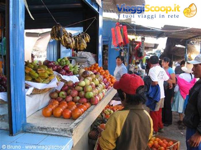
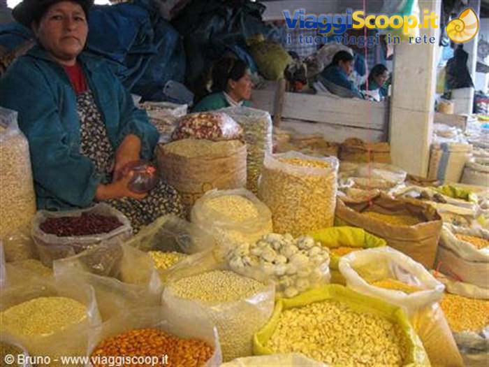
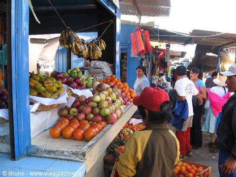
Market of Caraz
Day 24 Aug 2006
Towards Huaraz
At 9.30 on the morning of 4 August we leave Lima with a scheduled bus that takes us to Huaraz, the "Courmayeur of the Andes". Leaving the city, we cross the enormous bidonvilles that characterise its outskirts; these shanty towns are made up of houses built of brick or wood with cane roofs. Once out of Lima we drive alongside the Pacific for about two hours; the landscape appears as an immense sandy desert, with enormous dunes hundreds of metres high, with no sign of life. Turning inland, the desert changes from sandy to rocky and mountainous with countless cacti and prickly pears. As we gain altitude the desert gives way to vegetation; agaves and eucalyptus plants accompany us up beyond 3500 metres; higher up, pastures predominate. After passing a pass at 4100 metres the road descends gently towards Huaraz where we arrive at 17.
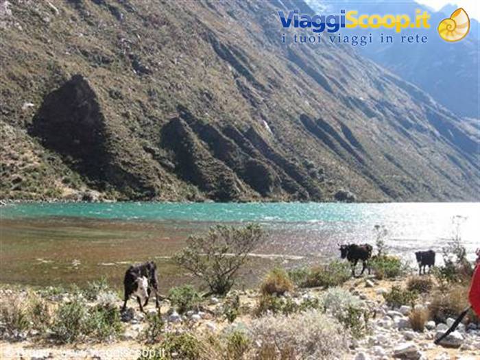
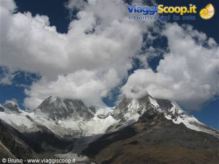
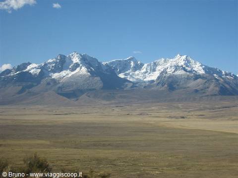
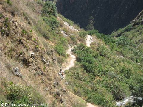
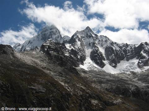
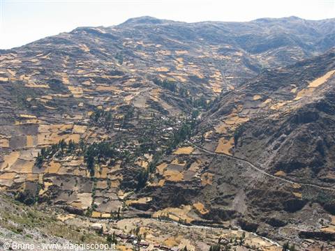
Trekking in the Cordillera Blanca - Landscape of the second stage
Day 35 Aug 2006
Trekking in the "Cordillera Blanca"
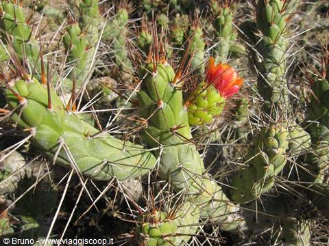
At 8 a.m. on August 5 we load the luggage onto the roof of a minibus and set off for the trek in the Cordillera Blanca. A stop in Caraz to make the last purchases of fruit, vegetables and water, then we continue on a narrow dirt road until we reach Cashapampa (2900 m), the starting point. At 12 we begin to walk along a path that immediately starts climbing a valley where there are many eucalyptus trees. The relentless midday sun makes the climb seem even harder, which, fortunately, once we reach the altitude of 3500 meters at 2 p.m., eases off. Now the path climbs gradually, the vegetation thins out; we see only shrubs and small spiny cacti. At 5 p.m. we reach Llamacarral (3760 m), the place to set up the first camp. The sun begins to set and little by little the muggy heat turns into cold. Once the tents are up, we warm our bones with a steaming "Mate de Coca." I wake up at 5.
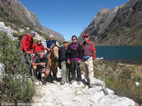
Yesterday evening we retired to the tents at 9 p.m., besides there wasn't much to do outside, not even a bar to drink a beer! I stay another hour or so in the warmth, in the sleeping bag, then at 6 general wake-up. Abundant breakfast and at 7:30 we set off for the second stage. Maybe because the path continues on a slight slope and a cold little wind that blows continuously keeps us from suffering the heat as we did yesterday, but today I seem to feel the fatigue less. In the first part of the stage we walk practically on the flat, continuing to climb the valley we covered yesterday. In the distance, behind some mountains at the bottom of the valley, snow-capped peaks peep out that brush 6000 meters.
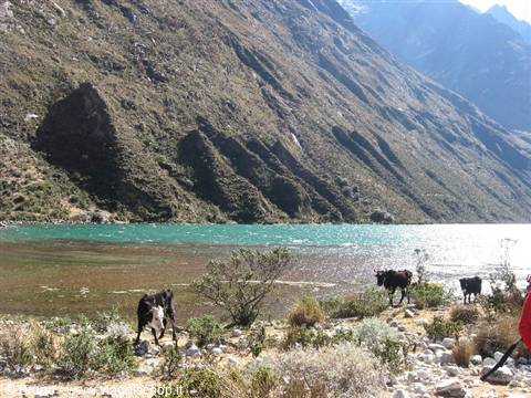
The landscape around us is also very beautiful, certainly more attractive than yesterday; maybe it's also because today I feel less tired but I appreciate much more the natural beauties that surround us. We walk alongside two small lakes. The first, very small, is little more than a marsh overrun by reeds and other aquatic plants; the second, much larger, has water of an intense blue color. A few cows graze on its banks, contenting themselves with the little grass that grows among the shrubs. After the lakes the path continues with a steep climb that, after overcoming a difference in elevation of about 300 meters, reaches a small col. Suddenly there appears to us, in all its majesty, Alpemayo (5947 m), which is considered one of the most beautiful mountains in the world.
Here there is a fork: turning right, in about an hour, you reach the place to set up camp, going left, again in an hour, you arrive at the Alpemayo base camp. The temptation is so strong that, despite the tiredness, five of us decide to make this detour and reach the base camp at about 4400 meters of altitude while the others stay to wait for us. The base camp area is wonderful, Alpemayo rises above us surrounded by lesser peaks and by beautiful and terrifying glaciers. We stay at the camp to admire this spectacle for about 30 minutes; our two companions are waiting for us, so at 1:30 p.m., with the regret of leaving behind so much grandeur, we retrace our steps to rejoin them. Once the group is reunited, in an hour of path almost all in a gentle descent, we reach a place called Taullipampa, at 4260 meters of altitude, where we pitch the tents.
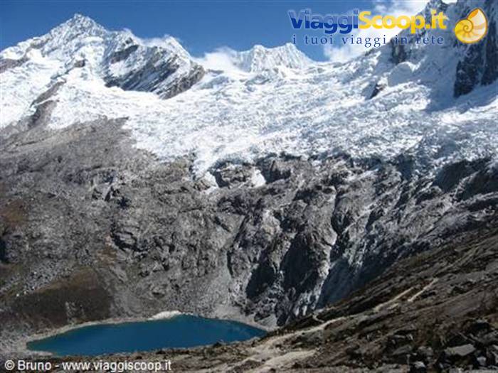
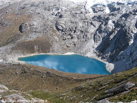
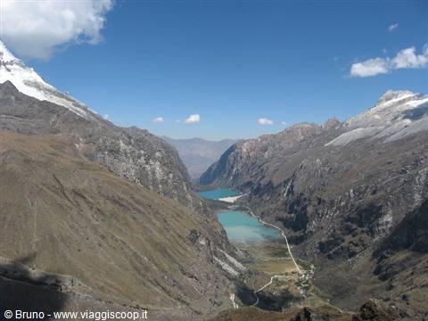
In front of us we can make out the 4750-meter pass that we should cross tomorrow. Let's not think about it now, let's think about setting up camp and relaxing with a hot "Mate de Coca" prepared by our accompanying staff. Tomorrow is another day and we'll see. Third stage of the trek. We set off at 7:30 and immediately the climb that leads to the pass begins. The path rises gradually, then becomes steeper with many switchbacks. The scenery around us is always breathtaking with snow-capped peaks that exceed 5000 meters and splendid glaciers. In the valley floor we can make out many glacial lakes with the mountains reflected in their waters. The walk proceeds slowly, we are almost at 5000 meters. At these altitudes oxygen is scarce and it is essential to continue with slow, short steps; if you try to lengthen your stride your heart starts beating fast.
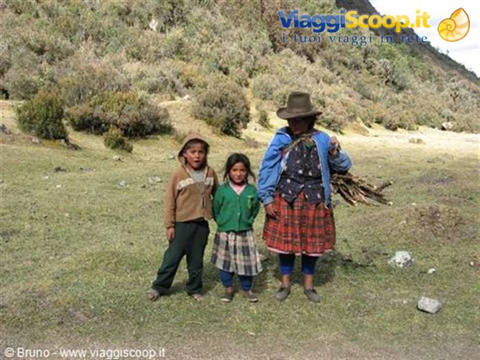
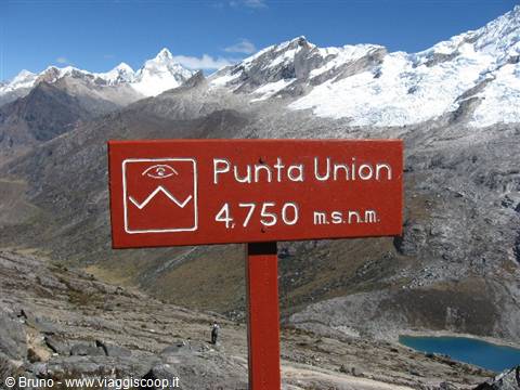
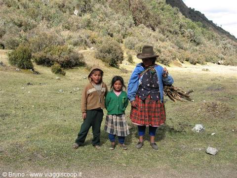
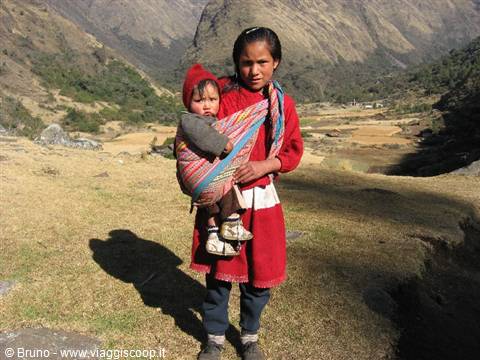
Despite the fatigue, in 2 and a half hours we reach the Punta Union pass at 4750 meters. A long stop to admire and photograph the mountains and the valleys that surround us, then, with an endless descent, toward 3 p.m. we reach Cachina Pampa at 3750 meters where we pitch camp. Not visible from the path but nearby there must be a village. The proof of its existence is the many children who suddenly appear, curious about our arrival. At sunset we admire for the last time the snow-capped peaks still lit by the sun. Tomorrow we will descend to the valley and the mountains will no longer be visible. Last and short stage, almost all downhill. Descending in altitude we come across many villages with houses built of mud and straw. As we pass we are surrounded by children who hope to receive some gift, especially candy and chocolate.
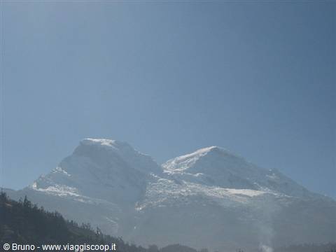
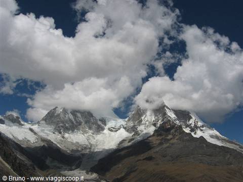
In these places toothpaste is almost completely unknown, so we are reluctant to offer sweets. We prefer to give notebooks and ballpoint pens, which are accepted with a bit of disappointment. At 10:30, after a stretch of steep climb, we arrive at Vaqueria where we find the minibus waiting for us that will take us back to Huaraz, not directly but after a sightseeing tour to visit the area. A steep dirt road climbs up to a pass at 4750 meters from where the gaze ranges over the mountains that surround us. In front of us rise the two peaks of Huascaran, one of which, with its 6768 meters, turns out to be the highest summit in Peru. At the sight of it I am seized by emotion and memories: six years earlier we had attempted the climb. The undertaking had not succeeded because, surprised by a sudden snowfall, we remained stuck at camp 1, on the glacier at 5200 meters, for three days.
But that is another story already told. With a steep descent on the opposite side of the pass we leave the Huascaran park and find the asphalt. At 4 p.m. we arrive in Huaraz. The day ends with a dinner in the company of our guide Victor, accompanied by his wife and two daughters.
Trekking in the Cordillera Blanca - Panorama in the third stage
Day 49 Aug 2006
Chavin de Huantar
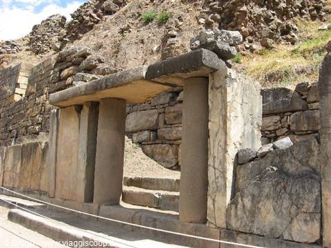
Today, August 9, the tourist part of the trip begins with the visit to the site of Chavin de Huantar, one of the most important testimonies of stable pre-Inca settlements, located at 3,200 meters of altitude in the Cordillera Blanca. Here lie the remains of a civilization that flourished between 1300 and 400 BC. This civilization left no written documents, so it is only possible to make hypotheses based on the results of the excavations conducted at the site, which includes a temple, some plazas and a myriad of stone carvings. The walls, built without the use of lime, testify to the technical level achieved. In the decorations of the temples the predominant element consists of anthropomorphic figures with feline features that we see carved on the columns, on the wall slabs, on the lintels and on the stelae.
The works in progress, with the consequent temporary closure of the road, at the top of a pass at 4516 meters force us into a forced stop. At 10 the road is opened to traffic and at 11 we reach the Chavin site. After the visit, which lasts until 2:30 p.m., we stroll through the little streets of the small village buying a few souvenirs and at 5:30 p.m. we set off again for Huaraz.
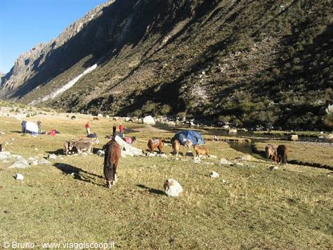
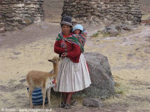
Trekking in the Cordillera Blanca - Local population near the third camp
Day 511 Aug 2006
Pisco and the Ballestas Islands
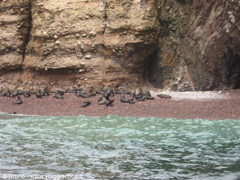
Back in Lima we devote the morning of August 11 to visiting it. At 12 we watch the changing of the guard. Lined up at attention, in red and blue uniforms, the outgoing guard hands over to the incoming guard with a ceremony that is repeated every day at the same time, attracting a crowd of spectators. At 1 p.m. departure for Pisco with a stop to visit the Museo de la Nacion, at the National Institute of Culture of Lima, where it is possible to admire testimonies of the dozens of civilizations that developed in Peru. Today, August 12, will turn out to be very intense. At 8 we set off by boat to visit the Bay of Paracas and the Ballestas Islands, nicknamed the "Galapagos of the poor." Here you can admire many marine mammals and various types of birds: cormorants, pelicans and others.
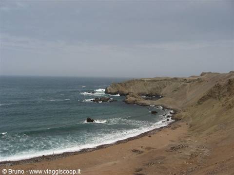
During the crossing we skirt the desert coastline where, carved into the rocky wall of a cliff, is the famous Candelabra that recalls the better-known Nazca figures. Many are the photos taken of the thousands of birds that nest on these islands and of the sea lions that doze lazily on the rocks and beaches.
Trekking in the Cordillera Blanca - The Huascaran from the Portachuelo pass
Day 612 Aug 2006
Nazca and Chauchilla cemetery
At 11, the visit finished, we set off for Nazca. In flight we admire the famous "Nazca Lines," still wrapped in mystery, which have given rise to many hypotheses, more or less plausible. About thirty kilometers from Nazca is the less well-known but very interesting "Chauchilla Cemetery," a large plain strewn with bones, skulls, fragments of vessels and mummies dating from the period between 1000 and 1300 AD. The mummies, which until a few years ago were scattered in disorder all over the desert plain, have been looted by tomb raiders. Only recently have they been gathered into 12 tombs, but the surrounding ground is still strewn with bone fragments. To round off the day nicely, the minibus breaks down: returning to Nazca from the Chauchilla Cemetery, a water hose bursts. Fortunately another passing vehicle has a jerrycan of water with which we fill the radiator.
Stopping at every fountain to replenish our water, we manage to reach the hotel where the repair is carried out.
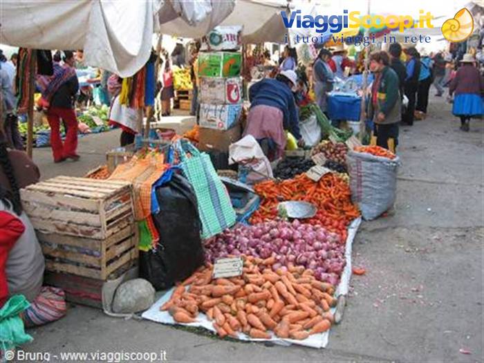
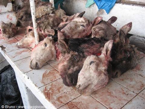
Market of Huaraz
Day 713 Aug 2006
Arequipa
On August 13, at 7:40 we set off for Arequipa, where we arrive at 6 p.m. For a few hours we drive along the barren but fascinating ocean coast, then we turn inland and cross an immense desert plateau. Once near Arequipa we can make out the profile of Misti (5822 m), an enormous volcano that towers over the city. The Misti volcano is an enormous cone formed of rocks and volcanic sand that rises isolated in the middle of a true high-altitude desert; on its slopes there is not a drop of water, nor a sliver of shade, only rare shrubs are present at the lower altitudes. The sight of it reminds me of when, six years earlier after the failed ascent of Huascaran, we reached its summit.
We devote the first part of the morning of August 14 to visiting the Santa Catalina convent, one of the most interesting places in the city, which in 1970, after four hundred years of isolation, was opened to the public. Although it was, and still is, a cloistered convent, the vow of poverty and silence was not much respected by the first nuns. In its period of greatest splendor the cells were in reality similar to luxurious rooms. Visiting Santa Catalina, three blocks from the central Plaza de Armas, is like plunging into the world of the 16th century; the little streets, the porticoes and the gardens still bear their original names. The convent, where up to five hundred nuns once lived, today houses only about fifty. Strolling through the city of Arequipa, you cannot help but notice the enormous bulk of the Misti volcano that towers over it and that is visible from every position.
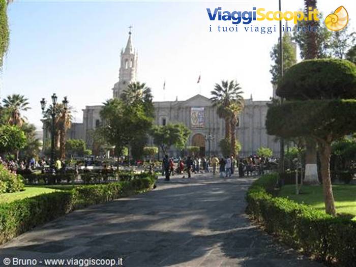
Arequipa - Plaza de Armas
Day 814 Aug 2006
Chivay and Colca Canyon
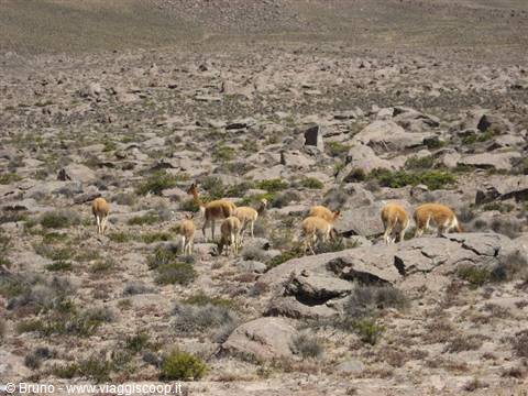
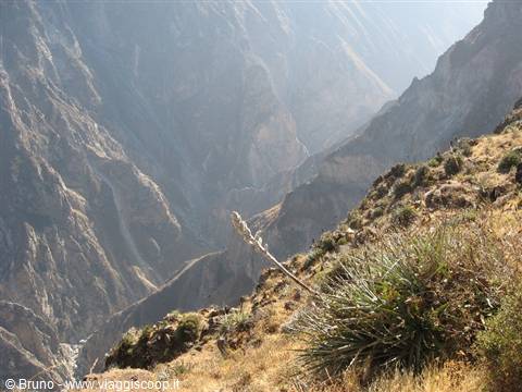
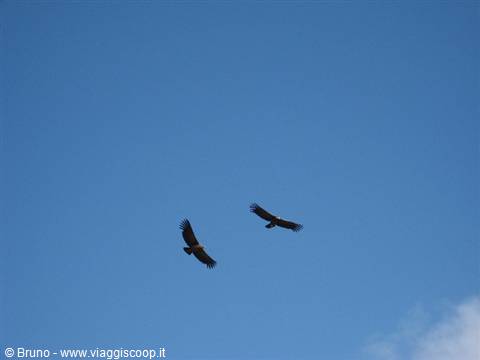
At 10:30 departure for Chivay, the base point for the visit to the Colca Canyon, one of the deepest in the world. Immediately we climb to 4000 meters on a plateau rich in llamas, alpacas and a few lagoons with water birds. We find ourselves at the highest point of the route, the Patapampa pass at 4910 meters, and fortunately we are all well, no one seems to feel the altitude; not for nothing are we all members of the CAI! We reach Chivay at 3:30 p.m., where we treat ourselves to a relaxing bath in the hot springs that rise 4 km from the town. A rude awakening at 5 in the morning to go to the "Cruz del Condor" to admire the condor that, punctual at 8:30, takes flight in the canyon. Many photos taken of the landscape and of the numerous condors that soar above our heads. After about an hour the flight ends and the condors are no longer to be seen.
A walk on the top of the canyon and, at 12:30, we set off for Puno, where we arrive at 6:30 p.m. We cross an immense plateau at about 4500 meters of altitude where we come across numerous lagoons. The weather worsens: it rains and at times snow falls too.
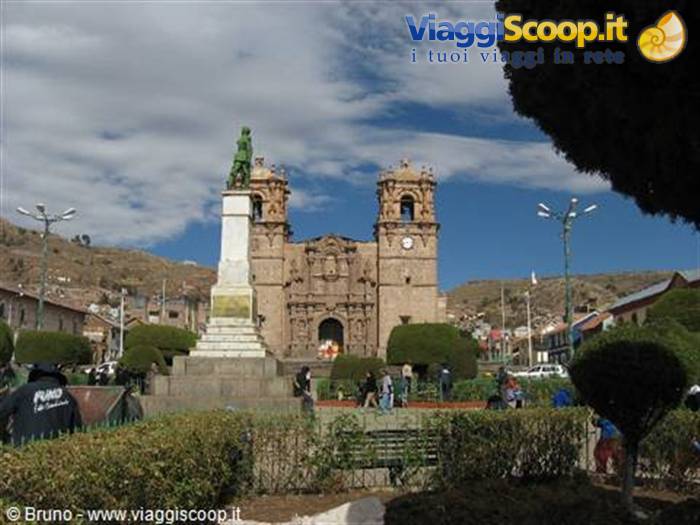
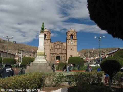
Puno - Plaza de Armas
Day 916 Aug 2006
Puno, Sillustani and Lake Titicaca
Free morning for the visit of the town of Puno, on the shores of Lake Titicaca, on the border with Bolivia. The city, located at 3840 meters, is the capital of the harsh mountain region that contains the lake and constitutes the ideal habitat for llamas and alpacas. Titicaca is the highest navigable lake in the world, being located at 3840 meters of altitude. The inhabitants of the region live, besides on tourism, by fishing in its icy waters, growing potatoes and raising llamas. This is the area of Peru where traditions have remained most intact, where neither the Spanish invaders nor present-day modernity and tourism have managed to prevail over the Inca culture. According to legend it is here, on the shores of the lake, that the Inca civilization originated: it is told that the Sun God, with his children, emerged from the waters of the lake to give rise to the Inca dynasty.
We devote the afternoon of August 16 to visiting the ruins of Sillustani, about 35 km from Puno. The ruins consist of chullpa (funerary towers) where nobles were buried. These circular towers, which reach a height of 12 meters, are wrapped in mystery; the exact era of their construction is unknown. They are made of enormous squared blocks placed one on top of another, with a small entrance doorway through which it is not possible to bring the body in; for this reason it is thought that the body of the deceased was lowered from above, before the construction of the roof. The technique of lifting the enormous and heavy stone blocks is also a mystery; it could be the same one used by the Egyptians in building the pyramids: enormous inclined planes formed of earth removed at the end of the work.
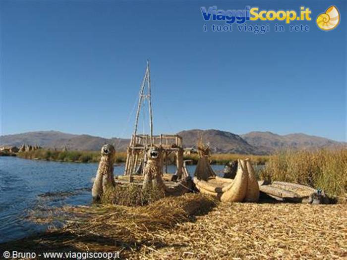
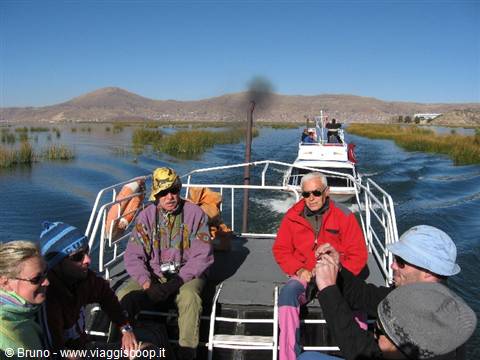
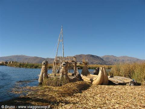
An interesting day of sailing on the lake to visit some of the more than thirty islands that rise from its waters. The most famous islands of Titicaca are the Uros, floating reed islands about an hour's sail from Puno, which take their name from the Indians who live on them. This small archipelago, made up of about half a dozen islets, is the first stop of our visit to the lake. These islands, formed of reeds that grow on the shores of the lake, are artificial. Due to the poverty of the area, most of the Uros have moved to Puno. The few who remain sell the products of their crafts to tourists, devote themselves to fishing and to hunting the many birds that populate the lake; their survival is moreover based on the lake vegetation, especially on the reeds, used to build dwellings, boats and even the islands themselves.
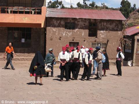
Since the bottom of these artificial islands deteriorates rapidly in the water, the inhabitants must continually add layers of reeds on top; this makes the consistency of the surface spongy and causes a strange sensation of instability when walking on it. Second and last destination of our visit to the lake is the island of Taquile, homeland of highly skilled weavers, two hours' sail from the Uros islands. The village is located on the top of the island, at about 4000 meters, and to reach it you must walk up a mule track that severely tests the many tourists. Taquile is the homeland of traditional Peruvian textiles and it is common to come across, along the roads and in the main square of the village, men intent on making the splendid woolen headwear worn by the inhabitants of the island.
The colors and decorative motifs of the garments provide indications about who wears them: marital status, family position, etcetera. For example, bachelors wear a knitted hat with a white tuft, while the headwear of married men is decorated with red stitches. You can buy excellent woolen garments, with very colorful designs, at convenient prices.
Lake titicaca - Huros Islands
Day 1018 Aug 2006
La Paz
Today, August 18, we move to La Paz, in Bolivia. By minibus we set off at 8 and, driving along Lake Titicaca, we arrive at the border. Once the customs paperwork is done, by another minibus around 11 we reach Copacabana in a splendid bay on the Bolivian shore of Titicaca. The minibus for La Paz will leave at 1:30 p.m., so there is time left to visit the town and in particular its white cathedral. Built between 1605 and 1820, the cathedral in Moorish style, with its domes and its bright blue ceramic tiles, dominates Copacabana. At 5 p.m. we arrive in La Paz, the highest capital in the world, perched on the bottom and slopes of a canyon 5 km wide and overlooked by the two massifs of Illimani and Huayana Potosi. After settling into the hotel we make contact with an agency for tomorrow's excursion to Chacaltaya.
Market of La Paz
Day 1119 Aug 2006
Chacaltaya
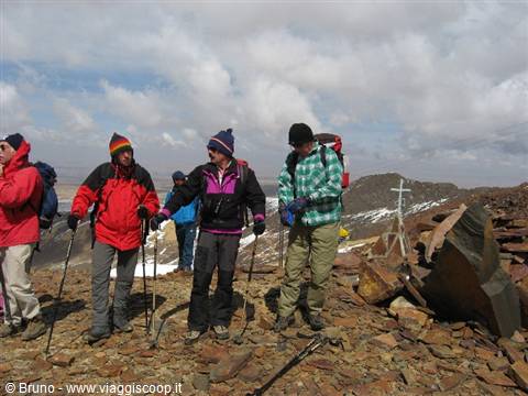
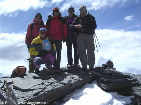
At 8:30 on August 19 we set off by minibus to reach the base of Chacaltaya (5395 m). We leave La Paz crossing the many characteristic little markets in a crazy chaos: pedestrians and cars popping out from all directions amid a continuous sound of horns. The road soon becomes dirt and begins to climb. At 10:45, at about 4700 meters of altitude, the fresh snow that fell in the previous days makes the road no longer passable; we had hoped to reach the refuge located at about 5200 meters by minibus, instead we are forced to walk starting from a lower altitude. The summit is 700 meters higher. The difference in elevation is not much but at these altitudes the climb is more tiring. Shortly after 12 we reach the refuge, a short stop and in another 15 minutes we arrive at the fore-summit at 5300 meters. After a slight descent we resume climbing and at 12:45 we reach the summit.
The panorama is stupendous and repays the not difficult but tiring climb. In the distance we can make out the snow-capped summit of Illimani (6450 m) while below us there are several lesser peaks. The snow does not completely cover the ground and its alternation with the gray of the rocks makes the landscape that surrounds us even more fascinating. A steep descent on the other side to reach, at 2:30 p.m., the place where the minibus will come to pick us up to take us back to La Paz.
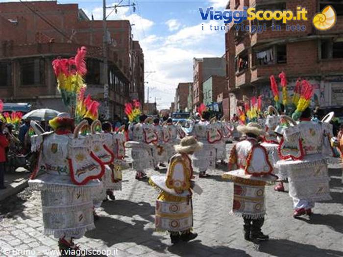
Party in La Paz
Day 1220 Aug 2006
Coroico
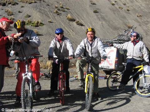
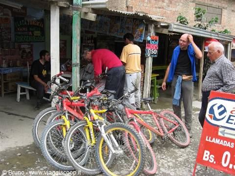
We conclude our stay in Bolivia with an exciting mountain bike descent. By minibus, which also carries the bicycles, we reach La Cumbre, a pass at almost 4700 meters that crosses the Cordillera. From here, with a route of 70 km of which only the first 20 are paved, we reach the village of Coroico at about 1200 meters, descending therefore by about 3500 meters. The road that connects La Paz to Coroico is officially named "The most dangerous road in the world" for the large number of fatal accidents that occur on it. Despite all this, the bicycle descent from La Cumbre to Coroico is one of the most popular routes in Bolivia, since it allows combining the pleasure of a long descent with that of arriving in a splendid location.
The "vertical" panorama observed from the road that descends to Coroico is a true delight for those who travel it by bicycle, here you have the chance to sit without pedaling and let gravity do the rest! Along the way you can admire an incredibly varied landscape while making a spectacular descent in a scenario totally different from the one observed on the other side of the Cordillera. The fascinating but barren high plateaus are replaced by almost vertical walls where lush vegetation grows.
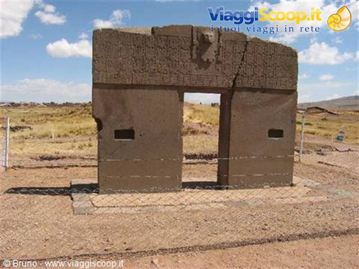
Tiahuanaco site
Day 1321 Aug 2006
Tiahuanaco
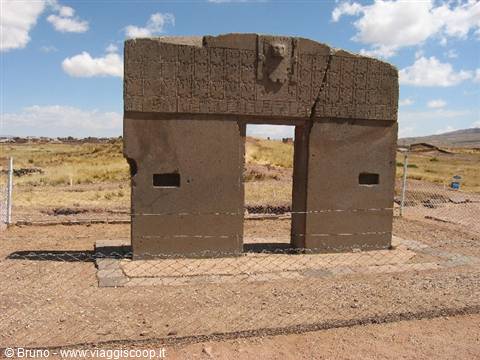
Today, August 21, we return to Puno, in Peru, not directly but stopping to visit the archaeological site of Tiahuanaco, on the southern shore of Lake Titicaca. The construction of the site was begun around 700 AD by a much older civilization, which arose around 600 BC. Unfortunately all the treasures of Tiahuanaco have been looted over the centuries, many of the buildings are still buried by earth and excavations are underway to bring them to light.
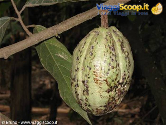
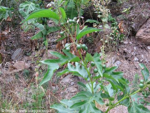
Trek in the amazon jungle - Mango fruit
Day 1422 Aug 2006
Cuzco
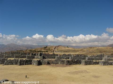
By a scheduled bus, on August 22, we move to Cuzco, the ancient Inca capital. The journey is rather long, from 8 to 3:30 p.m., but not monotonous. We cross a vast plateau surrounded by mountains. We devote the morning of August 23 to visiting the surroundings of Cuzco and in particular the four archaeological sites called "the 4 ruins." The most famous is that of the gigantic fortress of "Sacsayhuaman," a clear example of the architectural abilities of the Incas. Built using stones weighing over 100 tons, the enormous military complex that dominates the city of Cuzco has a zig-zag wall that, according to some, imitates the teeth of the puma whose head was represented by the fort itself. About 7 km from Sacsayhuaman is the site of "Qenko," whose name means "labyrinth," which includes several channels carved into the rock and an underground chamber.
Another archaeological site is the fortress of "Puca Pucara," which is believed to have been the guard post of the road leading to Cuzco. The last site is that of "Tambo Machay," the site of the sacred baths. Here the system of conduits still brings crystal-clear water to the showers, where the Incas practiced ritual ablutions. In the afternoon we laze around wandering through the streets of Cuzco, the ancient Inca capital.
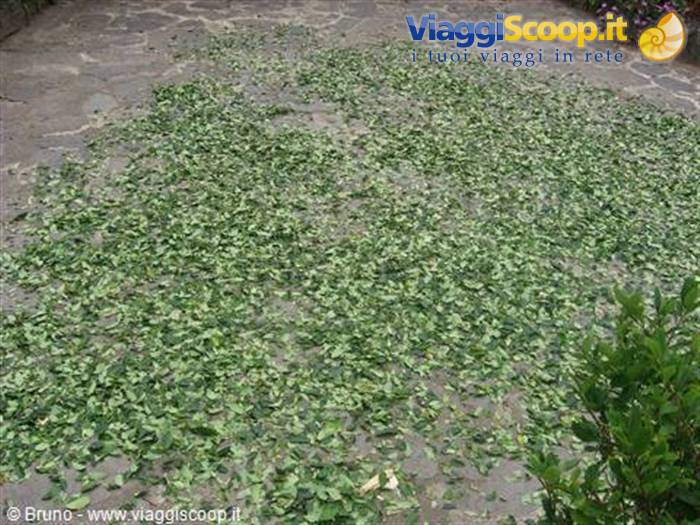
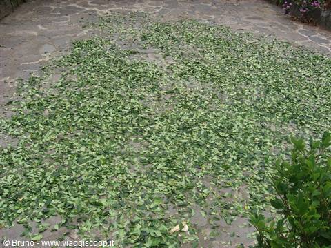
Trek in the amazon jungle - Coca leaves laid out to dry
Day 1524 Aug 2006
Trekking in the jungle
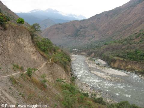
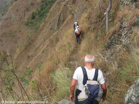
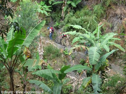
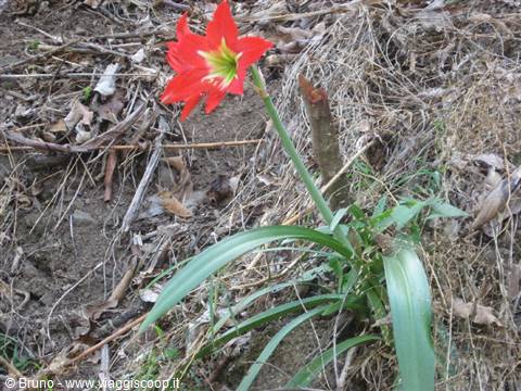
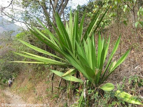
On August 24 we begin our trekking in the Amazon rainforest. In a minibus we climb to the Abra Malaga pass at 4100 metres. The landscape on the opposite slope calls to mind the descent towards Coroico made in Bolivia; we are approaching the Amazon region and the mountain sides are covered with vegetation. Towards 4 p.m. we reach Santa Maria, a small village on the banks of the Urubamba river and the starting point of our trekking. The vegetation is luxuriant and very varied, rich in tropical plants and splendid flowers. Unfortunately there is also an abundance of a variety of invasive and voracious little flies, which "leave their mark" for days afterwards too. The following day, August 25, we set off for the first stage of the trekking, 25 kilometres from Santa Maria to Santa Teresa.
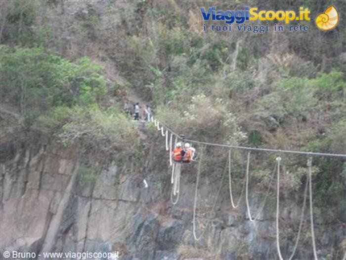
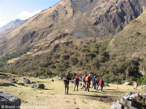
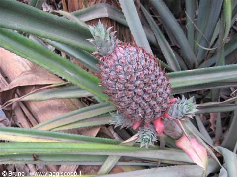
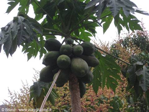
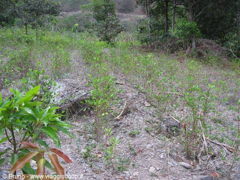
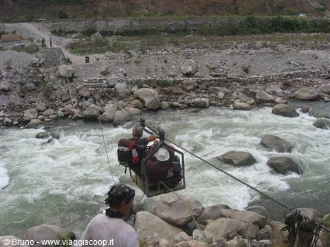
We proceed along the edges of the Amazon forest, following the course of the Urubamba river, among trees and tropical flowers. We come across banana, mango, pineapple and papaya plants as well as coffee plantations and the ever-present coca plants. The walk, a continuous up and down, is made more interesting by the crossing of the river by means of a cable car that carries two people at a time. With a short but steep climb, at 4.30 p.m. we reach Santa Teresa. Today's stage, from Santa Teresa to Agua Calientes, 15 kilometres, turned out to be disappointing and monotonous, definitely less interesting than yesterday's. After crossing the Urubamba again on a cable car, we follow for about 6 kilometres an unpaved road where vehicles pass by, raising clouds of dust as they go. After a hydroelectric plant the railway line that leads to Agua Calientes and Cuzco begins.
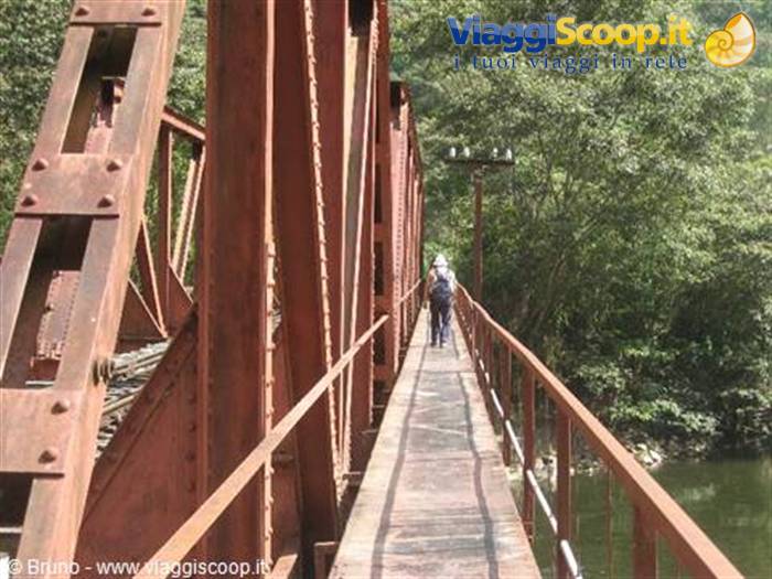
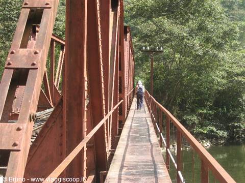
Nine kilometres await us, to be covered walking on the railway sleepers, a real nightmare for everyone!
Trek in the amazon jungle - Crossing of the Urubamba river
Day 1627 Aug 2006
Machu Picchu
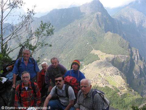
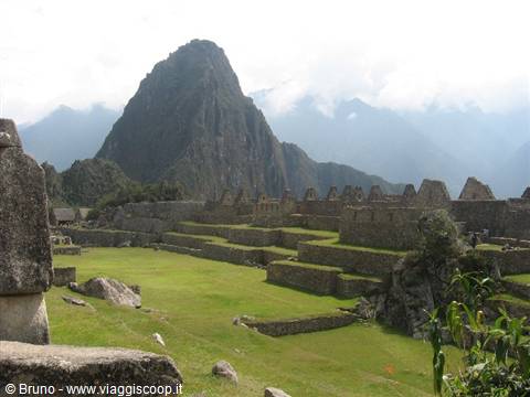
Before returning to Cuzco on a characteristic and rickety little train that penetrates into the high Urubamba valley, we devote the morning to visiting Machu Picchu, the oldest ruins of the Inca period. In 1536 the Incas rebelled against the Spanish and took refuge in Vilcabamba, in the forest northeast of Cuzco, where they resisted for thirty-five years before being definitively defeated. The city was quickly swallowed up by the jungle and fell into oblivion. When, in the 18th century, the race to find the "lost city" broke out, where all the gold that had escaped the Spanish was supposed to be found, the name of Vilcabamba was associated with it and it returned to the chronicles.
The Muisca Indians, who inhabited present-day Colombia, provided a clue to those obsessed with that search by telling the Spanish about a tribal chief who each year, during a ritual, after covering his body with gold dust, immersed himself in the waters of a lake. This episode helped to associate the name "El Dorado", the Golden Man, with the lost city as well. When in 1911 Hiram Bingham discovered Machu Picchu, he was in reality looking for the ruins of Vilcabamba. Bingham was convinced he had found the last refuge of the Incas; Vilcabamba in reality lies about a hundred kilometres west of Machu Picchu. Bingham's mistake is understandable: he could not imagine that in the forest north of Cuzco there were as many as two lost cities.
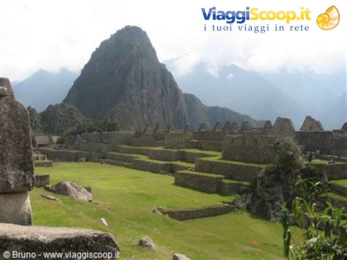
Today it is clear that the ruins found by Bingham are not those of Vilcabamba, but the discovery poses an enigma: if Machu Picchu was not Vilcabamba, then what was it? The ruins took their name from the mountain that towers over them (Machu Picchu means Old Peak), while the other peak not far away is called Huayna Picchu (Young Peak). The Spanish were certainly unaware of the existence of Machu Picchu and, since they had many informers among the Incas themselves, the only plausible explanation is that not even the Incas, in the period of the Spanish conquest, knew of it.
The city and the region were probably abandoned before the Spanish conquest, disappearing from the memory of the People of the Sun themselves; this total ignorance regarding the existence of the ruins can be explained by the fact that the quipucamayocs, the historians who handed down the chronicles of the empire orally, are today known to modern historians for their censorial habit of erasing from memory facts or people whose memory was, for various reasons, inconvenient. Perhaps this was the fate of Machu Picchu: a rebellious province punished so cruelly that its existence had not even passed into history.
Trek in the amazon jungle - On the march in the second stage
Day 1728 Aug 2006
Sacred Valley
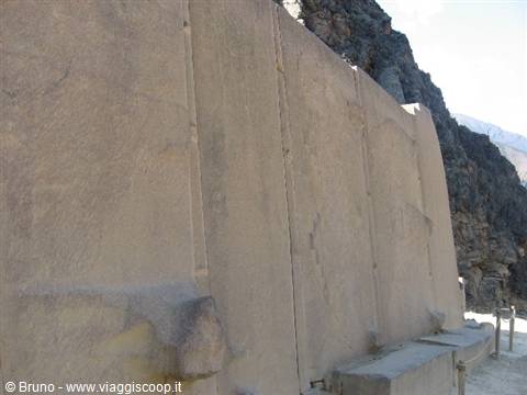
Today, August 28, we visit the Sacred Valley, in the vicinity of Cuzco. The first destination is Pisac, a pleasant village known for its Sunday market and for the ruins found in its surroundings. The latter can be reached by climbing up the terraces on the mountainside. The steep terraces still cultivated today and the solemn architecture of the ruins are the most important elements of what was once a fortified city. The stones of these ruins, although smaller in size than those seen at Sacsayhuaman, are cut with incredible mastery. The second stop is the village of Urubamba with the ancient fortress of Ollantaytambo, 72 kilometres from Cuzco. Inside the walled enclosure of the fortress there are granite monoliths of remarkable size, larger than those of Sacsayhuaman, which form the "Temple of the Sun", a building left unfinished.
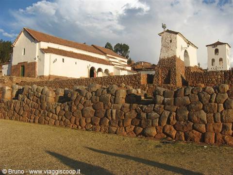
Returning to Cuzco, a stop is a must to visit the village of Chinchero with its square that on one side is closed by a massive wall built by the Incas. Inside the square, on the foundations of buildings from the Inca period, the Spanish built a white colonial church. The contrast of the little white church resting on the dark stones dating back to the Inca period is astonishing.
Ruins of Machu Picchu - The Huayana Picchu in the background
Day 1829 Aug 2006
Back in Cuzco
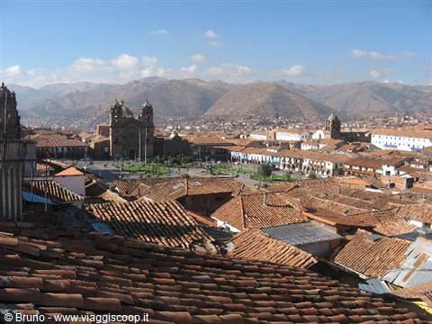
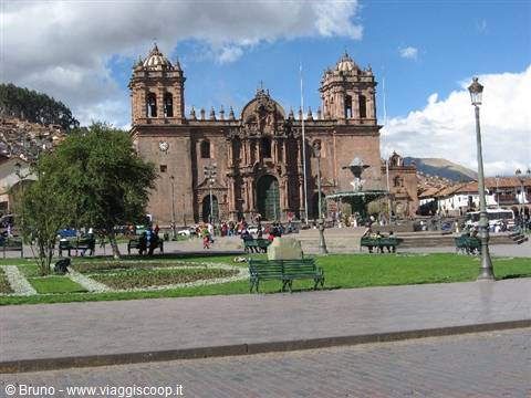
The journey is drawing to a close. The last day of our stay in Peru is dedicated to visiting Cuzco, the ancient capital of the Inca Empire. Cuzco, with 350,000 inhabitants, is a city where present and past coexist; almost 500 years after the arrival of the Spanish, the city remains a crossroads between Inca and European culture. A visit to Cuzco must necessarily begin from the fascinating Plaza de Armas, the tourist and commercial heart of the city. In Inca times this square covered an area corresponding to twice the current one and represented the exact centre of the empire of Tahuantinsuyu. The Plaza was the place where the most important military and religious ceremonies took place and where there was a stone covered with gold sheets to which offerings were dedicated before undertaking any military action.
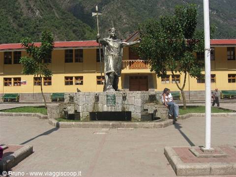
In the days of Spanish rule the square was the scene of bloody events, such as the execution of Tupac Amaru II, the leader of the Indian rebellion who, captured while trying to flee, was sentenced to be quartered. Today people gather in the Plaza de Armas especially on the occasion of festivities. The square is particularly spectacular after sunset, thanks to the lighting that highlights its most solemn aspects.
Market of Cuzco
Day 1930 Aug 2006
Conclusioni
Today begins the long journey back to Italy. Two nights in flight await us. Having to give a verdict I can say that it was a beautiful trip, never a day the same as the previous one and always with itineraries interesting for all the members of the group. Even the forced stop in Atlanta on the outward journey had its positive sides in that it gave us the chance to get close to a way of life totally different from the one we would see in the following weeks. Particularly engaging was the four-day trek in the Cordillera Blanca that took us to the base camp of Alpamayo, allowing us to observe up close the major peaks of Peru: Huascaran (6768 m), Santa Cruz (6259 m) and Alpamayo itself (5947 m), considered one of the most beautiful mountains in the world.
Complimenti Bruno! Ti contatterò nel caso decida di partire....è una meta che mi ha sempre attratto tantissimo, non mi resta che decidere e trovare il periodo giusto. A presto!
























1 reader comments
Complimenti Bruno! Ti contatterò nel caso decida di partire....è una meta che mi ha sempre attratto tantissimo, non mi resta che decidere e trovare il periodo giusto. A presto!