La Paz, Lake Titicaca, Sucre, Tarabuco, Potosi, Tupiza, Uyuni, Atacama, Coroico
When
2 Aug 2004 – 28 Aug 2004 27 days · trip of 2004
Who
Bruno Visca · @Bruno · Germagnano (TO)
How
Travel diary
The story · 5 days
Bolivia - Where the Andes meet the Amazon
Text and photos by Bruno Visca
Travel is a creative act, which not only consumes and delights the soul, but feeds the imagination and is responsible for every new wonder, which it remembers in order to carry on... And the best landscapes, apparently dense or formless, hold many surprises if they are studied with patience, in that kind of discomfort that can be savoured afterwards. Paul Theroux, The End of the Earth
This is what Bolivia offers, the poorest country in South America: beautiful landscapes of stunning colours, desert plateaus at altitudes above 4,000 metres, surrounded by snow-capped mountains over 6,000 metres high, lagoons with hues ranging from pink to green and blue, with huge numbers of pink flamingos and other birds that live on their shores. All in an environment where human presence is almost entirely absent. Certainly, enjoying so much beauty is not without discomfort, due to the lack of services, temperatures that at night can drop even to 20 degrees below zero, and early starts to admire the colours of dawn which, at sunrise, offer shades of colour comparable to those an artist manages to reproduce on canvas.
But Bolivia is not only nature: outside its cities, on the foothills of the mountains and plateaus, lives the wonderful Andean people, a people who know how to live with little but who are very proud of their origins and traditions. In the first half of the 1500s the Spanish conquistadores, with the cross in one hand and the sword in the other, subdued the ancient inhabitants, the Incas, imposing their laws, their customs and their religion. The Andean people had to submit to the impositions of the Spanish but did not forget their traditions and their religion, which are still alive today; this population finds no conflict between the imposed Christian faith and devotion to the ancient deities: the sun, or God Inti, the moon and, first among all, Mother Earth, the Pachamama.
Even today it is customary to ask forgiveness from the Pachamama before performing an action that might, in some way, disturb her or that is for some reason considered offensive, such as entering an ancient Inca site. To gain her forgiveness they offer what is considered most pleasing to her: coca, alcohol or the blood of animals, in particular llamas. In the markets of the cities and villages you can find mummified llama foetuses for sale on the stalls: they are given to the Pachamama, after being wrapped in a silk cloth together with other gifts, then buried under the foundations before building a new dwelling. In the churches you find, as with us, many paintings and frescoes depicting sacred figures, but there are also always images of the sun and the moon, bearing witness to the ancient faith.
Although the whole plateau is characterised by beautiful landscapes, it is the south-western part, the most remote plateau area of the country, that offers the most beautiful panoramas, breathtaking views with shades that continually change colour. This is a region crossed by few tracks, almost devoid of trees, sparsely populated and subject to sudden climatic changes, but which can prove to be like paradise for those travellers in search of unusual and fascinating places.
Day 12 Aug 2004
After a long flight from Italy, with stopovers in Chicago and Miami, we land on the morning of August 3, 2004, at 6 local time (12 noon in Italy), at La Paz airport. The airport's 4100-meter altitude makes itself felt; the whole group suffers from slight dizziness and nausea. From the plateau where the airport is located we can admire the panorama of the city. La Paz, which turns out to be the highest capital in the world, is perched on the bottom and slopes of a canyon 5 km wide and overlooked by the two massifs of Illimani and Huayana Potosì; it conveys an unforgettable image to anyone who admires it from above. Once we reach the hotel, which is in the lower part of the city, at about 3600 meters, the situation improves slightly and only a mild but annoying headache remains, which will accompany us during our first day in Bolivia.
If we add the fatigue accumulated over 30 hours of travel and the sleepless night spent in flight, you can understand why we spend the entire morning sleeping. Only in the evening, sitting at the restaurant in front of a big steak accompanied by french fries, do we feel better. The cost? Less than 3 euros each!! Incredible compared with our prices. The first destination of our trip is Lake Titicaca, on the border with Peru. Having reached the town of Copacabana by minibus, with a 5-hour trek that follows the shore of the lake in a continuous up and down among eucalyptus trees, we arrive at Yampupata, from where, by boat, we reach the Isla del Sol. Along the way, on a stretch of the route that winds over a fine stone pavement, we come across the reproduction of the Grotto of Lourdes, which is worth a visit.
This place is a destination for religious pilgrimages made by the local inhabitants. Once we reach the island, our physical endurance, already severely tested by the 5 hours of walking at almost 4000 meters of altitude, suffers another hard blow as we have to tackle the "Inca Staircase" which, from the lake's 3840 meters, leads to about 4000 at the village of Yumani. A stop about halfway up the staircase to quench our thirst at the "Inca Fountain," a very cool jet of water that springs from the mountain and flows into three stone channels, then, heedless of the fatigue, on the road again toward the village, located at the top of the island, which we reach when the sun has already set, guided by the faint light of our headlamps. The "Trucia" (trout) of Lake Titicaca eaten for dinner we consider to be the "just reward" for this long and strenuous day. Second day of trekking.
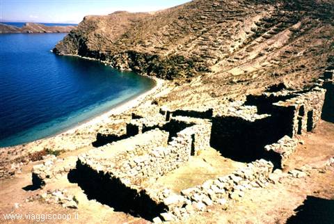
Today we cross the entire Isla del Sol, reaching its northern tip. Fortunately the stage turns out to be less demanding than the previous one. On the island there are no vehicles and one moves only on foot or by boat; this reason, together with the fantastic panoramas admired from the heights of the island, makes the walk particularly pleasant and not at all tiring. On top of the northern promontory of the island is the Inca site of Chincana, the most spectacular complex of ruins on the island. After visiting the site, and in particular its most important structure, the Palacio del Inca, we face the descent toward the lake where, by boat, we return to Copacabana. The day is very beautiful, the sky is an intense blue without the shadow of a cloud, and the sun is reflected on the dark waters of the lake.
It doesn't feel like being at almost 4000 meters but at the seaside, on a warm spring day. Only by touching the cold waters of the lake does the temptation to take a dip vanish instantly. Today we are less tired than yesterday, so the evening in Copacabana goes on until after one in the morning around a bottle of pisco.
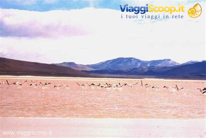
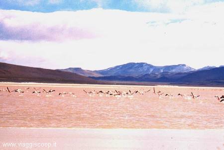
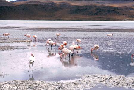
Flamingos at the Laguna Colorada
Day 23 Aug 2004
After a morning spent visiting the lakeside town, at 1 p.m. we take a bus back to La Paz, where at 6.30 p.m. we are scheduled to depart on a bus that will take us, after a long 12-hour overnight journey, to Sucre, Bolivia's second capital. The city lies in a valley at an altitude of 2790 metres, surrounded by low hills. Like all South American cities, Sucre too is dotted with little markets full of the characteristic colours and aromas of spices, where you can find every kind of goods. And it is precisely to visiting its covered market that we devote our first morning in Sucre. On the outskirts of the city there is a palaeontological site, located in the current Fancesa cement quarry. Visiting this place occupies our afternoon. It is a tall vertical wall that was raised as a result of the tectonic movements caused by continental drift.
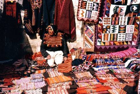
On this wall there are numerous large footprints, left about 60 million years ago by various species of dinosaurs. 65 Km from Sucre is the little town of Tarabuso, where on Sundays a very colourful little market is held at which you can buy beautiful handicrafts. So on Sunday morning we get on a bus that, after two hours along a very dusty road, takes us to the village. The brightly coloured goods are displayed on the stalls set up around the square, giving it a festive, cheerful atmosphere. Back in Sucre in the afternoon, at 6 p.m. we set off for Potosì, where we arrive at 9 p.m. Potosì, the city that with its 4090 metres of altitude turns out to be the highest in the world, has a history tied to silver. In fact it was founded in 1545, following the discovery of silver-rich minerals on the Cerro Rico, the mountain that towers over it.
The veins proved so rich that its mines soon became the most productive in the world. Present-day Potosì is a testament to what was once a great colonial city. It is to visiting its mines that we devote the morning of our arrival in the city. The excursion to the Potosì mine must necessarily begin with a visit to the market, where the miners stock up on what are considered the primary necessities for work in the mine: coca leaves to ease fatigue, cigarettes and dynamite; not to mention the 96-proof alcohol to offer to Mother Earth, the Pachamama, to apologise for the offence caused to her by digging into her bowels. The visit can turn out to be one of the most memorable experiences you can have in Bolivia, since it allows you to observe up close working conditions that would already have been judged inhuman in the Middle Ages.
The interior of the mine has galleries with low ceilings and muddy passages, an atmosphere with high percentages of harmful gases, silica dust and acetylene vapours: in short, it feels as if you have descended into the bowels of hell. The most interesting part consists of talking with the miners who, in exchange for small gifts, will tell you their opinions on the difficult work they do. Around Potosì there are the Tarapaya springs, from which hot waters with healing properties gush forth.
What better opportunity to wash off the dust accumulated in the mines than to take a nice bath in one of the many pools that surround them and that are fed by the springs? The outside temperature, despite the altitude, is pleasant and invites you to plunge into the warm waters, so, after a quick shower taken in the hotel where we are staying, we reach them and savour the pleasure of bathing in their waters. Another unmissable destination in Potosì is a visit to the "Casa Real de la Moneda", the old royal mint now turned into one of the most beautiful museums in Bolivia. So, while waiting to move on to Tupiza, on the morning of 10 August we devote a visit to it. The building, of imposing size, was constructed between 1573 and 1773 to mint coins directly at the place where the metal originated.
The museum houses numerous treasures of historical value, including the first locomotive to travel through Bolivian territory. In the basement are preserved the manual devices used to mint coins, still in working order. In many rooms there are various display cases showing interesting ancient coins. By bus, at 12.30, we set off for Tupiza; 7 hours of road almost entirely unpaved, very dusty but scenic. Along the way you come across a few small isolated villages. Many barnyard animals, including hens and little black piglets, wander freely near these villages; I think that, together with the few fruits this arid land can yield, they are the only source of support for the inhabitants of these villages. When we arrive, at 7.30 p.m., Tupiza welcomes us under light rain.
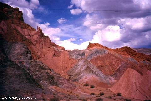
Tupiza, 2950 metres high, is surrounded by the harsh hills of the "Cordillera de Chicas" and is set amid one of the most spectacular landscapes in Bolivia. The scenery surrounding it is fascinating: multicoloured rocks, hills, mountains and canyons that recall the old West. Our visit to its surroundings, made in a four-wheel drive with some stretches covered on foot, begins with the "Puerta del Diablo", a valley characterised by red-coloured rocks surrounded by enormous cacti; it continues with the "Valle de Los Machos" with imposing formations eroded by the weather that recall the better-known "Fairy Chimneys" found in Cappadocia; the "Canyon del Duento", which offers a marvellous scene made up of rock formations and deep crevices covered with cacti standing out against the reddish hills.
And then the "Valle del Toroyoj", characterised by spectacular red rocks, and the village of Palquiza with its beautiful little church that recalls those seen in the westerns shot in Mexico. The most spectacular panorama, however, is the one we admire from "El Sillar", literally The Saddle, located at an altitude of 3600 metres, 15 Km from Tupiza. We arrive on the spot at sunset, the best time to visit it. From here you get a splendid view over its geological formations, jagged amphitheatres carved into the mountainside and eroded into the shape of spires which, lit by the light of the setting sun, offer a breathtaking panorama. On the day we have left to spend in Tupiza we want to experience the thrill of reaching a place called "Entre Rios" on a horse ride. This experience can prove traumatising for the inexperienced like me.
In fact, on the way back the foal suddenly decides to gallop and for a few hundred metres I can't stop it. Finally the horse calms down and for the whole rest of the route, fortunately for me, the episode does not happen again.
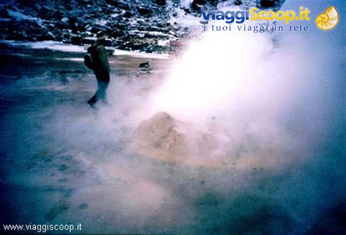
El Tatio geysers
Day 313 Aug 2004
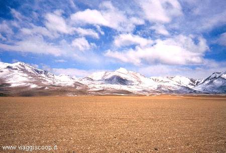
On 13 August the most interesting part of the trip begins, the visit to the Bolivian altiplano with its lagoons and its salares. The first destination on the altiplano is the small village of "Quetena Chico", located near the Uturunco Volcano (6020 m), a small settlement that still survives thanks to alluvial gold mining along the banks of the Rio Quetena, where the prospectors dig deep holes and then wash the material by hand, separating the gold-bearing sand from the gold; hard and poorly paid work. Retracing a stretch of the same road as two days earlier, we revisit the spires of El Sillar. The road continues ever uphill, quickly climbing onto the altiplano, beyond 4000 metres of altitude.
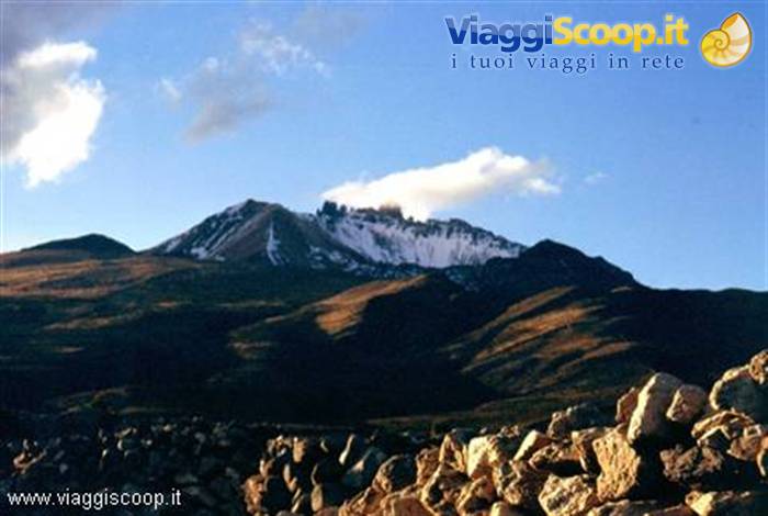
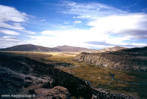
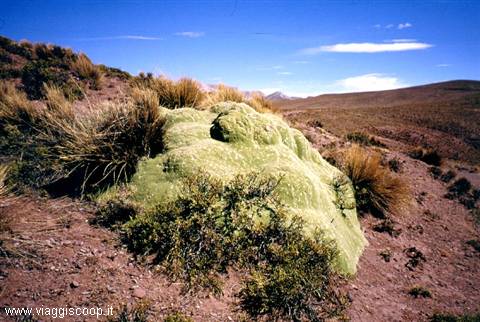
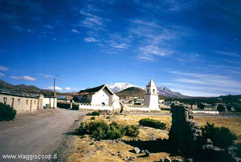
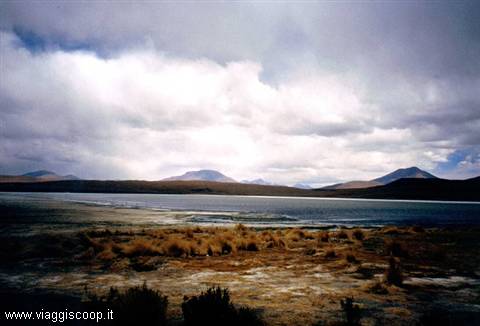
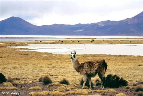
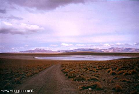
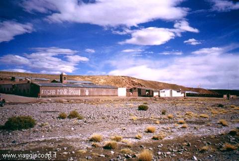
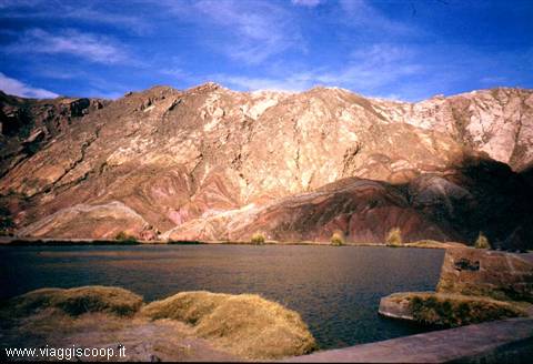
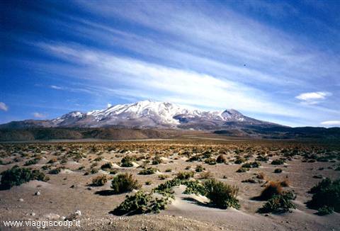
We travel along dusty tracks, stopping to admire this truly spectacular landscape until we reach the small village of San Pablo de Lipez, one of the rare inhabited centres of the altiplano, near which lies the ghost village of Sant'Antonio, created by the Spanish and later abandoned. Along the way we have our first encounters with the many llamas, alpacas and vicuñas that live in these areas, the wildest in all of Bolivia. This desolate high-altitude desert region is one of the territories with the most severe natural conditions in the world, as well as the last refuge for many of these animals. The panoramas surrounding us are of a wild beauty, especially when we reach Laguna Morecon, the first of the many lagoons we will encounter on the altiplano.
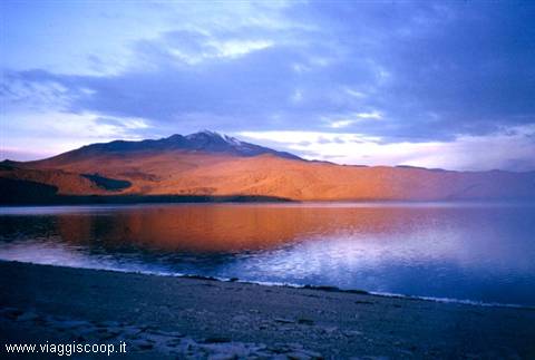
At 7.30 p.m., when darkness has already fallen, we arrive at the village; the spartan accommodation in a freezing building, with no lighting and no heating, is not enough to lower the group's morale, which remains decidedly high. To drive away the cold we finish dinner, by candlelight and wearing our windbreakers, with a warm "vin brulè" or, as the locals call it, "vino caliente". An early start and departure at 5 in the morning to go and admire the sunrise at Laguna Celeste, a destination still little known to travellers but one that certainly deserves a visit, especially if you arrive on its shores before sunrise. We try to mitigate the biting cold of the moments before dawn by lighting several fires on the shores of the lagoon.
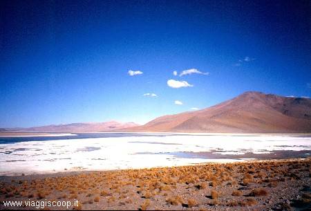
At dawn its waters are painted with colours that grow warmer and warmer, and the reflection of the mountains mirrored in it forms a landscape of unreal beauty: the hardships endured are all amply rewarded! Back at the village of "Quetena Chico" to have an abundant breakfast and collect our luggage, we set off for San Pedro de Atacama, in Chile. The landscapes encountered along the way are always stupendous; we cross a territory with still-active volcanoes, geysers, thermal waters, lagoons and salt deserts. The ground is saturated with minerals which, mixing with water, produce unimaginable colours, creating spectacular lagoons.
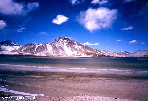
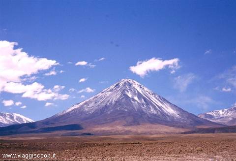
There are many lagoons and salares along the way, including: Laguna Hedionda Sur, Laguna Collpa with its borax formations, the salar de Chalbri, Laguna Polchis, also with borax formations, Laguna Verde, with unimaginable shades of colour ranging from green to blue, located in an exposed area and always battered by an icy wind, behind which rises the immense 5960-metre cone of the Licancabur volcano. The last lagoon encountered, before the Chilean border, is Laguna Blanca. Here, during the lunch stop, it begins to snow. In a short time the ground is covered with a light layer of snow and the landscape, already beautiful, takes on a particular charm. After crossing the border with Chile we quickly reach the village of San Pedro de Atacama. It is still early, so we take the opportunity to visit the Valley of the Moon.
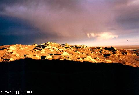
This valley, which lies near San Pedro de Atacama, is famous for its conformation that recalls the lunar surface. The best time to visit it is certainly sunset, when the rock structures are coloured with intense hues ranging from yellow to red. Today, 15 August, at 4 in the morning we have another early start to make an excursion to the "El Tatio" geysers, at 4300 metres of altitude. The pre-dawn departure is justified; our guide had explained to us that the geysers form only early in the morning, since afterwards, because of a strong wind, the vapours are dispersed.
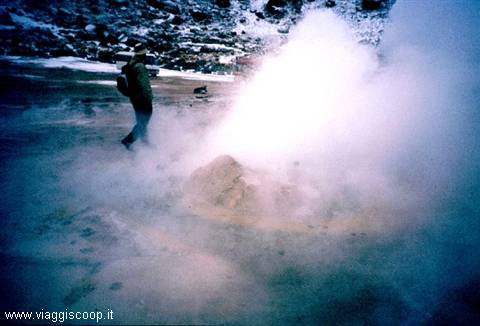
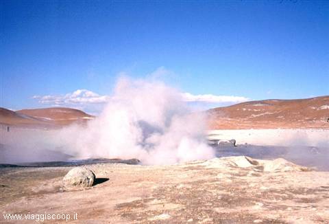
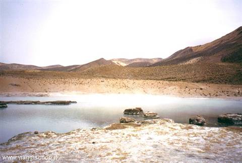
We arrive at the immense El Tatio caldera around 6.00 and from afar we begin to see a great quantity of thin bluish fumes: here we are, there are the geysers! As we get closer it feels as if we are penetrating Dante's hell: columns of steam rise from cracks in the rock, in which the water bubbles noisily, and it is surprising to find yourself in an environment where water coexists in its three states: solid, liquid and gaseous. The fresh snow that fell during the night makes the landscape even more fascinating. After leaving the El Tatio area we visit the surroundings of San Pedro de Atacama. The first destination is the village of Caspana at 3264 metres of altitude. Of pre-Hispanic origin, this village is characterised by its stone architecture and its straw roofs.
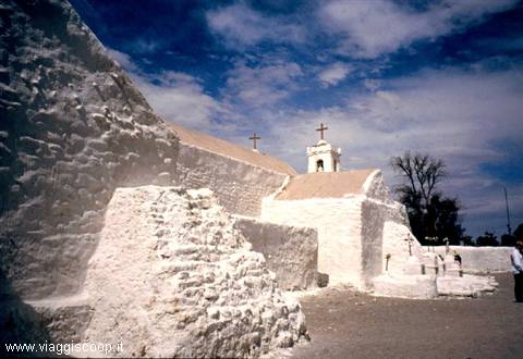
At present its 400 inhabitants live off the production of flowers and vegetables which they sell in the provincial capital, Calama. We continue with a visit to the village of Chiu Chiu, at 2400 metres, with its characteristic little church. The church, built in 1612, has a Latin-cross plan. Its walls are 1.2 metres thick and the roof has a framework of cactus wood. The main façade has two stone bell towers built in 1965, during a restoration, in place of the original 19th-century one that had collapsed. The little church is enclosed within a walled precinct that also contains ancient tombs. Today, 16 August, in the afternoon we are supposed to return to Bolivia, but news arrives that the border pass between Chile and Bolivia is closed due to snow. If it is not passable we will have to stay an extra day in Chile. In the morning we visit the Salar de Atacama, where Laguna Chaxa is located.
The Salar, at an altitude of 2500 metres, has an area of about 4000 Km² and is the largest in Chile. On its surface you can observe a salt crust, generated by the accumulation of crystals that form as a result of the evaporation of water. The lake micro-environment of the Salar, especially in the area of the lagoon, generates microorganisms that attract numerous flamingos which, in the climate and the silence of the Salar, find an ideal environment for nesting. The pass is still closed; we hope that tomorrow the road will be passable.
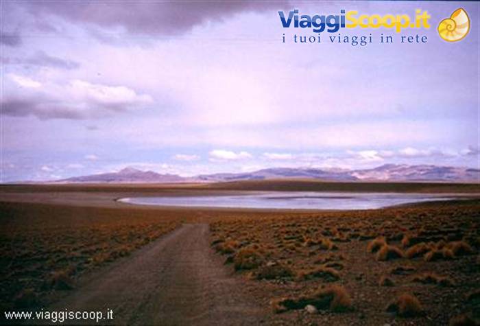
Laguna Hedionda Sur
Day 417 Aug 2004
Finally at 1 p.m. on 17 August they open the pass. Once the customs formalities are dealt with we set off and around 2.15 p.m. we reach the Bolivian altiplano again, where our two four-wheel drives and their drivers are waiting for us. We begin the second part of our visit to the altiplano: first destination Laguna Colorada. The weather is splendid and the sky an intense blue, cloudless, even though the air is cold and an icy wind is blowing. We retrace a stretch of the route already covered a few days earlier. We see Laguna Blanca and Laguna Verde again on a fine sunny day, whereas the previous visit had taken place under light snowfall. A quick visit to the Apaceta geyser, at over 4800 metres of altitude, and we continue towards Laguna Colorada, where we arrive at sunset.
The lagoon, with its fire-red waters, lies at an altitude of 4278 metres, covers an area of about 60 Km² and reaches a depth of barely 80 cm. The vivid red colouring is due to the algae and plankton found in its mineral-rich waters. There are a great many flamingos to be observed here, and they seem to have chosen this area as the best for their reproduction, despite the freezing temperatures which, at night, can drop below -20º. From the place where we stop the lagoon seems close, just a stone's throw away. So, even though evening is falling and the cold is intense, we decide to reach it on foot; only a long plateau, covered with many stones, separates us from it. But the lagoon is farther away than it seemed: after about ½ hour of walking, fearful of the evening darkness coming on, we decide to turn back and postpone the visit to the next day.
Today's destination is the village of San Juan del Rosario. Before setting off we devote a few hours to visiting the lagoon which, lit by the morning light, shows itself in all its splendour. The many flamingos that live on its shores do not seem disturbed by our presence and continue to look for food in its shallow waters. The landscape is very evocative, and the beauty of the place helps us endure the cold and the icy wind that keeps blowing. This is surely the most beautiful spot observed so far. We continue by crossing the Siloli desert, 18 Km north of Laguna Colorada. Here you come across several strange rock formations, the best known of which is certainly the one called "Arbol de Piedra", Stone Tree. This formation, which really does resemble a tree, is made up of a rock eroded by the wind that stands in the desolate expanse of the desert.
The lagoons we skirt are numerous and beautiful: Laguna Honda, Laguna Chota, Laguna Hedionda Nord at 4186 metres, very rich in flamingos, Laguna Canapa at 4151 metres, a large salt lake surrounded by high mountains. During a lunch stop it begins to snow. At 8.30 on 19 August we set off for the little town of Uyuni and its famous Salar, a boundless expanse of salt with many "islands" that seem to emerge from the sea. The weather promises nothing good, but despite the light rain accompanying us the landscape does not lose its wild charm. The Salar de Uyuni, with its 12,106 Km² of surface area, is the largest salt flat in Bolivia. This part of the Altiplano was once completely submerged in water. In the limestone rocks of what must have been a lake, coral fossils are visible. The salt deposits derive from minerals coming from the mountains and deposited in the area.
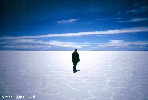
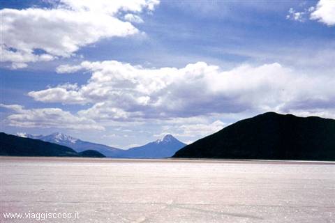
Today the Salar has become an area of salt extraction and processing, with its epicentre in the little town of Colchani, located 20 Km from Uyuni. When the surface dries, the salt flats transform the landscape into a blinding white expanse of infinite dimensions, whereas when these plains are covered with water, mirrors form that reflect the landscape perfectly and the horizon disappears. Crossing these flats the effect is supernatural and it feels as if you are suspended in the air. Among the many "islands" that rise from the white expanse of salt, the most famous is certainly the enchanting Isla del Pescado. It is thought that its name derives from its shape, which recalls a fish reflected in the Salar. The entire island is covered with cacti and surrounded by a white "sea" of hexagonal salt tiles.
After leaving the four-wheel drives we climb up to the summit of the island, from where you get a fine view over the boundless expanse of salt that fades away at 360° into the haze. Only the light rain falling spoils the enchantment of the landscape. Continuing the journey towards Uyuni you come across the Salt Hotel. This singular hotel is built entirely of blocks of salt and is located about 20 Km from Colchani. As a hotel it is nothing great, but its position inside the Salar exerts a certain charm on visitors. Interesting and singular is the sign placed just after the entrance that invites anyone entering to consume something at the bar before beginning the visit to the building.
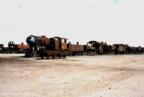
Once we reach the little town of Uyuni, before going to the hotel, we visit the "train cemetery", the greatest attraction of the place after the Salar: an enormous heap of old steam locomotives and abandoned carriages 1 Km from the town. Interesting are the ironic writings seen on some of the old locomotives, in particular one asking for the urgent intervention of a good mechanic. The town of Uyuni offers practically nothing else but intense cold and streets characterised by icy draughts.
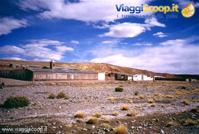
San Pablo de Lipez - Bolivian highlands
Day 520 Aug 2004
On August 20 we return to the Salar, this time with beautiful sunshine. We retrace part of the route already covered the day before and reach an island on which stands the small village of Coqueza, dominated by the Tunupa volcano (5400 m). In front of the village, a series of springs forms a tongue of water that separates the land from the Salar. This water is present in all seasons, whereas the Salar only melts in the rainy season; for this reason, Coqueza is reached by a road built on an artificial embankment, just wide enough for a car to pass, marked at the sides by some stones, and partially submerged. On the shore of the Salar numerous llamas graze and in the water, a short distance from us, a beautiful colony of pink flamingos and a pair of large Andean flamingos.
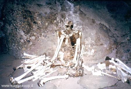
The dormitory where we stay has walls of adobe bricks, plastered with mud and painted white; the ceiling is made of sackcloth sewn together, nailed to the walls and painted with the same white wash. There is, however, a window, enough to hold back the wind a little. On the slopes of the Tunupa Volcano, inside a cave, are kept the bodies of men mummified for a thousand years, belonging to the ancient Chipaya people. It is to the visit of this site that we devote the afternoon. The rites recently officiated and the offerings lately placed at the base of the humble tombs make us understand how close, even today, the bond that the Andean peoples feel with their ancestors is. Unfortunately, we also understand that the isolation of these places has contributed to the progressive impoverishment of the tombs at the hands of tomb raiders and private collectors.
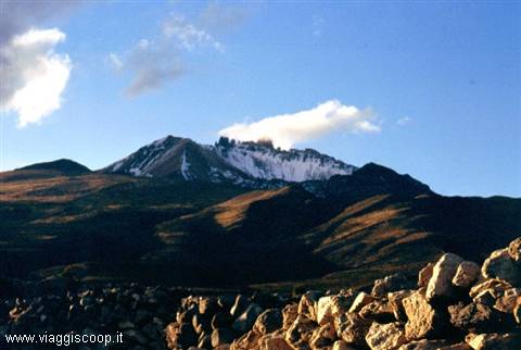
Once the visit to the site is over, some of us decide to climb the hill that lies below the volcano. The ascent to over 4500 meters of the hill is made on a comfortable path, but the altitude makes itself felt. The beautiful view over the village of Coqueza and the Salar repays the effort made; a pity not to have the time to try to reach the summit, we must go down so as not to be caught by darkness on the slopes of the volcano. Tomorrow we will definitively leave the Salar and the altiplano to go back to Chile. We celebrate the last evening with a good meat barbecue. We set off again crossing the Salar once more, this time in the direction of the Chilean border. The landscape of the altiplano is always fascinating; we pass another salar, that of Coipasa at 3786 meters of altitude, much smaller and less spectacular than that of Uyuni.
At 16 we arrive at the border with Chile where, once customs procedures are completed, we find two minivans waiting for us with which we reach the village of Colchane, just past the border. Colchane is made up of a few houses, there is practically nothing there. Only a large military center and the hostel where we settle, neither a shop nor a bar. The only positive note is the good dinner, eaten in the hostel, consisting of soup, llama steak and mashed potatoes. At 8.30 on August 22, with no regret, we leave Colchane to head towards Isluga Park with its volcanoes, abandoned villages and wide valleys surrounded by mountains that exceed 5000 meters. Although not as spectacular as those of the Bolivian altiplano, the landscapes are fascinating. After leaving the park we come across a salares with small pools of hot water: the Salar of Piocheres.
In these natural pools where the water reaches 60° it is possible to bathe. The outside temperature is cold and does not invite you to undress, so we only put our feet in the water. On the opposite side of the salares is the Laguna Cerro Vinto, packed with flamingos. After the many lagoons encountered in recent days we are not enthusiastic, so the visit is very quick. At 19 we arrive at our destination: the town of Putre. Today, August 23, is our last day in Chile, tomorrow we return to La Paz. We visit another Chilean park, that of Lauca, on the border with Bolivia. The park has an area of 137,883 hectares and is located at an altitude varying from 3200 to 6342 meters above sea level; inside it we encounter numerous vicuñas. During the night fresh snow has fallen that has whitened the whole landscape making it even more fascinating.
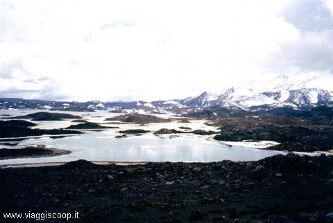
The visit of the park continues with the Laguna Cotacotani, at 4400 meters of altitude. This lagoon was formed following an eruption, accompanied by a strong outpouring of lava, of the Parinacota volcano. It consists of a large lake in which there are numerous lava islets. The road we travel passes about 200 meters above the lagoon; in order to observe it up close we go down to its shores. It starts to snow and it is quite cold. On the opposite side of the lagoon we can make out the imposing shape of the Parinacota volcano, visible only at moments because it is immersed in the clouds. If the descent to the shore of the lagoon was easy, the same cannot be said of the climb back to where our minivan awaits us: we are at over 4000 meters of altitude, we climb slowly with labored breath. We continue to the border with Bolivia, on the shores of Lake Chungarà.
The weather remains rainy and at times it snows. On the way back towards Putre we visit the small village of Parinacota, namesake of the great volcano that is located in its vicinity. Our journey is coming to an end, we have returned to Bolivia, to La Paz, where we stay another two days before undertaking the return journey to Italy. The first day we devote to visiting the city, we cannot go to the surroundings because there is a strike of all means of transport, taxis included. We conclude our stay in Bolivia with an exciting mountain bike descent. With a minivan, which also transports the bicycles, we reach La Cumbre, a pass at almost 4700 meters that crosses the Cordillera. From here, with a route of 70 km of which only the first 20 are paved, we reach the village of Coroico at about 1200 meters, descending therefore by about 3500 meters.
The road that connects La Paz to Coroico is officially named "The most dangerous road in the world" due to the large number of fatal accidents that occur there. Despite all this, the bicycle descent from La Cumbre to Coroico is one of the most popular routes in Bolivia, because it allows combining the pleasure of a long descent with that of arriving in a splendid location. The "vertical" panorama that is observed from the road that descends to Coroico is a real delight for those who travel it by bicycle, here you have the chance to sit without pedaling and let gravity do the rest! Along the way you can admire an incredibly varied landscape while making a spectacular descent in a scenario totally different from that observed on the other side of the Cordillera; the fascinating but barren altiplanos are replaced by almost vertical walls where luxuriant vegetation grows.
During the return journey to Italy, a stop of almost a day in New York allows us to visit, albeit briefly, the island of Manhattan and "ground zero", the place where the twin towers destroyed on September 11, 2001 stood.












0 reader comments