"... Recalling the images of the past, I find that the plains of Patagonia repeatedly present themselves before my eyes; and yet those plains are considered by everyone to be bleak and useless. They can only be described in negative terms; without houses, without trees, without mountains, they produce only a few dwarf plants. Why then — and this does not happen only to me — have these arid deserts imprinted themselves so strongly on my memory? Why have the pampas, flatter, greener, more fertile and more useful to humanity, not produced an equal impression? I would not know how to analyse these feelings, but they must depend in part on the free rein given to the imagination.
The plains of Patagonia are boundless, because they are hard to cross, and therefore unknown; everything suggests that they have remained unchanged for millennia and that they will remain so over time..." Charles Darwin, Journal of a Naturalist's Voyage Round the World
Thinking back on the journeys I have made across the Patagonian plains, on board scheduled buses, on dirt roads, I cannot help but summon emotions and memories similar to those described by Darwin in his account of the relationship he had with these places in 1834, during his voyage around the world undertaken from 1831 to 1836, aboard the ship Beagle commanded by Captain Robert Fitz Roy. Memories of immense wind-swept spaces where only rare thorny shrubs grow, with few roads and few villages hundreds of kilometres apart; but places so inhospitable and wild exert an irresistible fascination on those who, like me, try to escape the destinations of traditional tourism.
Patagonia, however, is a land of strong contrasts and so, alongside such unwelcoming landscapes, it offers blue lakes and rivers, green woods, snow-capped mountains and glaciers that push their fronts into the waters of great lakes. Strong contrasts are also seen in the climatic conditions and in the management of the territory: within a few hours you can go from summer heat to intense cold with strong winds, often accompanied by snowfall. Just a few kilometres apart, areas heavily exploited for tourism coexist with others that are completely deserted, where the human presence is either totally absent or so sparse and so well integrated into the environment and nature as to be part of it.
Perhaps it is right to give everyone the chance to visit places of indescribable beauty and fascination, and therefore to connect them with roads and exploit them for tourism with full respect for the environment; but I cannot help thinking how fascinating it would be to admire them in all their wild splendour, as Alberto Maria De Agostini saw them when, in the first half of the 1900s, he explored these lands. Discovered by Magellan in 1520, Patagonia hosted stable Spanish and Welsh settlements only from the second half of the 1800s.
The current region, in the cartography of the 16th century, was marked with the name "Terra gigantum"; the name derives from the impression that the encounter with the natives had produced in Magellan and in Pigafetta who, in their travel accounts, called the local inhabitants "Patagoni" because of the footprints left by their footwear ("patagones" literally means "big feet"). From the accounts left by travellers and explorers, two population groups can be identified: one northern, north of the Strait of Magellan, the Tehuelche, and one southern, the Ona, settled in Tierra del Fuego.
Even the night sky, which in the southern hemisphere is much richer in stars than the one we are used to admiring, is marvellous; the constellation of the Little Bear, which for us includes the Pole Star and indicates north, is here replaced by the group of stars that form the Southern Cross, which naturally indicate south; Pigafetta, in his account of Magellan's voyage around the world, defined them as "a marvellous cross"; Dante also mentions it in the Purgatorio of the "Divine Comedy" (canto I, lines 22-24): "... I turned my mind / to the other pole, and saw four stars / never seen before except by the first people...". Patagonia's cuisine with its specialities also deserves a mention. The main dish is meat, especially lamb and goat, obtained from the slaughter of animals left to graze freely on the immense estancias.
Asado is the most typical way of cooking it in Argentina and in particular in Patagonia; the whole animal, gutted and skewered on an iron cross planted in the ground near a wood fire, is left to cook for hours. Parrillada is another typical way of cooking meat in Patagonia; it resembles an ordinary barbecue but, along with cuts commonly used in Europe, it uses some that are unknown to us or even despised, such as offal, kidneys, intestine and others. Another typical dish of Patagonia is the empanada; it is made from small pieces of meat and vegetables enclosed in a strip of pastry that can be baked or fried. Among the desserts, the dulce de leche must certainly be mentioned; it is made by slowly cooking milk and sugar and has a taste similar to our toffee sweets. The typical drink is mate, an infusion similar to tea, with a distinctly bitter taste.
Day 130 Jan 2000
Arrival in Patagonia
Finally, after an endless flight from Italy to Buenos Aires, with a subsequent domestic flight we land, in the late morning, in Trelew, in the province of Chubut in northern Patagonia, where a minibus awaits us with which we cover the roughly 60 km that separate us from Puerto Madryn, our first destination and gateway for excursions to the Valdés Peninsula. Puerto Madryn is a town of 83,000 inhabitants that overlooks the Golfo Nuevo, surrounded at its back by hills that form a natural amphitheater. The free afternoon allows us to take a walk on the beach to go and visit the settlements of the first Welsh colonists, who settled in the area at the end of the 1700s.
Penguins at Punta Tombo
Day 231 Jan 2000
The Valdez Peninsula
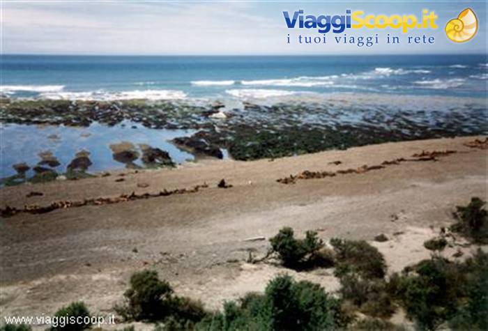
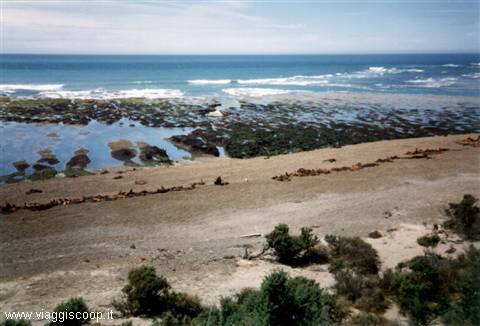
A day dedicated to visiting the Valdés Peninsula to admire the numerous colonies of penguins, sea lions and elephant seals that populate its shores. The Península Valdés, named in honor of Antonio Valdés, Spanish minister of the navy in the second half of the 1700s, has an unusual shape, joined to the mainland by the Ameghino isthmus, a strip of land 35 km long, which separates the Gulf of San José, to the north, from the Golfo Nuevo, to the south.
By minibus we make almost the entire circuit of the peninsula, visiting: Caleta Valdés, an inlet 32 km long separated from the ocean by a thin strip of land, where a large number of birds and marine mammals gather; Punta Norte, at the northeastern tip of the peninsula, with numerous colonies of elephant seals, observable only from a viewing platform at the top of the promontory; Puerto Pirámides, the only inhabited settlement on the peninsula (70 inhabitants), located on the Golfo Nuevo, hosts nearby a colony of "lobo marino de un pelo", a mammal belonging to the order Pinnipedia and the family Otariidae commonly called sea lion; Isla de los Pájaros, an island visible from the shores of the Ameghino isthmus, created as a nature reserve in 1967 to protect the great variety of seabirds that live and breed here.
Sea lions at the Valdez Peninsula
Day 31 Feb 2000
Punta Tombo
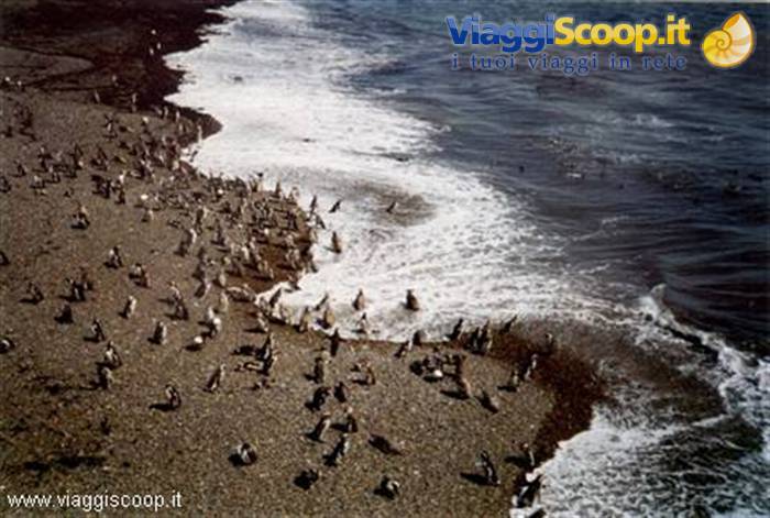
Another tourist day dedicated to visiting Punta Tombo where the largest colony of Magellanic penguins existing in Patagonia lives (about 500,000 specimens). The Punta Tombo wildlife reserve is located on a beautiful promontory overlooking the Atlantic Ocean; the penguins that populate it feed mainly on fish, but venture up to 3 km inland to nest; this entails an uninterrupted movement of these likable birds from the sea to their nests and vice versa. From the crowded beaches one notices a trail of penguins in constant movement that, with their characteristic waddling gait, moves in both directions.
Since the area is highly touristy and visited by thousands of people, the penguins are accustomed to human presence and show no terror when they encounter, in their continuous coming and going, a person in their path; indeed, not wanting to deviate from their usual route, they try to make the intruder move aside with pecks of their beaks. After taking the ritual photos, at 1 p.m. the return to Puerto Madryn begins with a detour toward the village of Gaiman, 9,000 inhabitants, to visit the old colonial stone buildings of the first Welsh settlers who founded it in 1874. Gaiman, whose name derives from Araucanian and literally means "pointed stone", is located 15 km from Trelew, along the course of the Rio Chubut near water springs useful for irrigating the fields.
In perfect Welsh style are also the numerous "tea houses" where, in the afternoon, in a nineteenth-century atmosphere, one can enjoy the beverage accompanied by exquisite sweets, all homemade.
Perito Moreno Glacier
Day 42 Feb 2000
El Calafate and Lake Argentino
Day of transfer; with a 2-hour flight from Trelew airport you reach Rio Gallegos, 49,000 inhabitants, located on the banks of the river of the same name and capital of the Argentine province of Santa Cruz. With a further 4-hour bus journey on a dirt road, you arrive at the village of El Calafate, the second destination of our trip and the base for excursions to the Parque Nacional Los Glaciares.
El Calafate is a tourist town of 1,700 inhabitants on the shores of Lago Argentino, at the foot of the Cuesta de Miguens, and takes its name, like the stream that runs through it, from the shrub that is the symbol of Patagonia; already among the first settlers and travellers of the 1800s a legend circulated about the fruit of the Calafate: "Whoever tastes the sweet-and-sour berry of the Calafate does not take long to feel drawn to and conquered by the spirit of Patagonia, and from the moment he stains his lips with the bluish juice he will no longer be able to forget this land, and always an intense sense of nostalgia will drive him to return!". Personally I believe I have eaten many of these fruits, which in appearance are entirely similar to the blueberries that grow in our Alps.
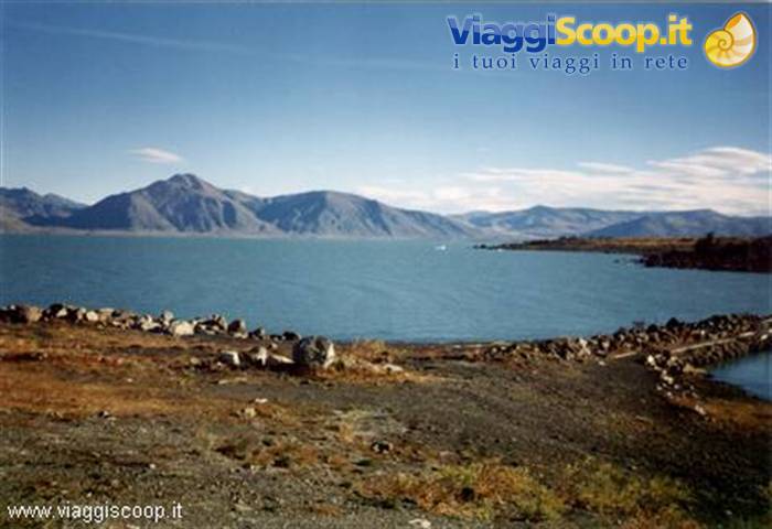
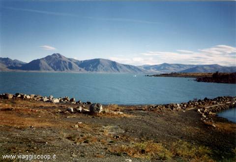
Already from the end of the 1700s several expeditions, sailing up the course of the Santa Cruz river, reached Lago Argentino, though believing they had reached Lago Viedma, located a few kilometres further north; only in 1877 did Francisco Pascasio Moreno, having reached the shores of the lake during a thorough exploration of the area, have confirmation that the Santa Cruz river did not originate from Lago Viedma, but from another great lake, and he christened it with beautiful phrases produced by his artistic vein: "Inland sea, son of the fatherland's mantle that covers the cordillera, in the immense solitude, the nature that created you did not give you a name: human will from today will call you Lago Argentino!".
Lake Argentino
Day 53 Feb 2000
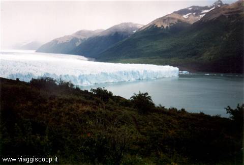
The Perito Moreno Glacier
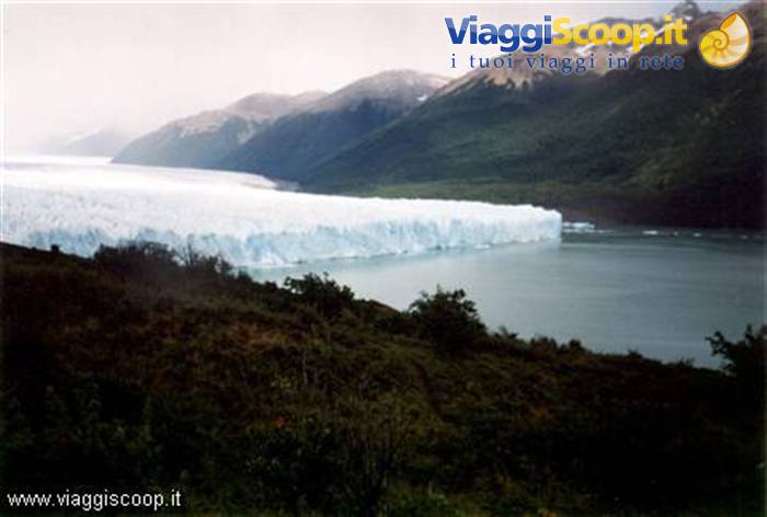
A day dedicated to visiting the Perito Moreno glacier. The glacier lies between the Brazo Rico and the Canal de los Témpanos, both arms of Lago Argentino. The Moreno glacier, which descends like an immense river of ice from the Cordillera, shows the traveller all the splendour and fascination of its front, 5 km long and 60 metres high, a front that is all jagged and rich in gigantic seracs, so much so that it resembles a Gothic cathedral; from it enormous blocks of ice break off and plunge into the lake, causing an immense noise and gigantic waves.
The Moreno, unlike most other glaciers, is continually advancing and in December 1939 it came to block, for the first time, the Canal de los Témpanos, joining with the Magallanes peninsula and thus blocking the drainage of the Brazo Rico; the waters then began to rise in level, until the column of water exceeded that of the lake by about 9 metres and reached such a force as to burst the ice dam that had formed. This phenomenon repeated itself cyclically every 3 or 4 years until 1988, drawing tourists from every part of the world to observe the grandiose event. Unfortunately, after 1988, the phenomenon has no longer occurred; the causes are probably to be sought in the rise in average temperature linked to the thinning of the ozone layer.
The Upsala Glacier
Day 64 Feb 2000
Towards Fitz Roy
Finally today we begin to walk. Departure at 7:30 by bus for El Chalten, the base for the ascents to Fitz Roy, to Cerro Torre and the starting point for our first trek. At 1:30 pm we tackle the path that, setting off decidedly uphill in a beautiful forest of southern beeches, leads us in 3 hours to the Poicenot camp. After 1 hour of walking, having reached a plateau, it begins to snow; small, sparse snowflakes fall, immediately a white blanket forms that creates a magnificent contrast with the green of the grass and the trees; the temperature also drops considerably and the sky becomes overcast: a shame, because from the plateau where we are we could admire, in the distance, the bulk of Fitz Roy. A little beyond the junction for the Laguna Capri the path climbs again for a short stretch, then continues with a more or less flat course until the camp, which we reach at 4:30 pm.
We pitch the tents in a wood that shelters us from the snow which, in the meantime, has lessened in intensity; the temperature remains rather rigid, about 2 °C. The frugal dinner eaten at 7 pm under the snow, fortunately, does not lower our morale, which remains decidedly high; despite the cold we laugh and joke cheerfully. At 8:30 pm the temperature drops to 0 °C; we decide to retire to the tent to sleep with the intention, if the weather improves, of getting up at 4 to be able to arrive at dawn and admire the first rays of sun on Fitz Roy.
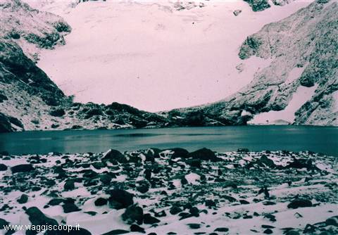
The lagoon at the base of Fitz Roy
Day 75 Feb 2000
Fitz Roy
I wake up at 4 and get out of the tent; it's snowing; I wake Cristina to agree on whether to leave or wait for the weather to improve. We decide to sleep another hour; I go back into the tent and fall asleep again; when I wake up it's already 6; it's no longer snowing, but the whole area is blanketed in fresh snow; the temperature is a few degrees below zero. General wake-up call to head to the Fitz Roy viewpoint, departure at 7. The tents are not taken down; they will be retrieved on the way back for the second part of the stage that must take us near the Cerro Torre. From the camp we cross the Rio Blanco and reach, after a short climb, the clearing that hosts the base camp for the ascents to Fitz Roy.
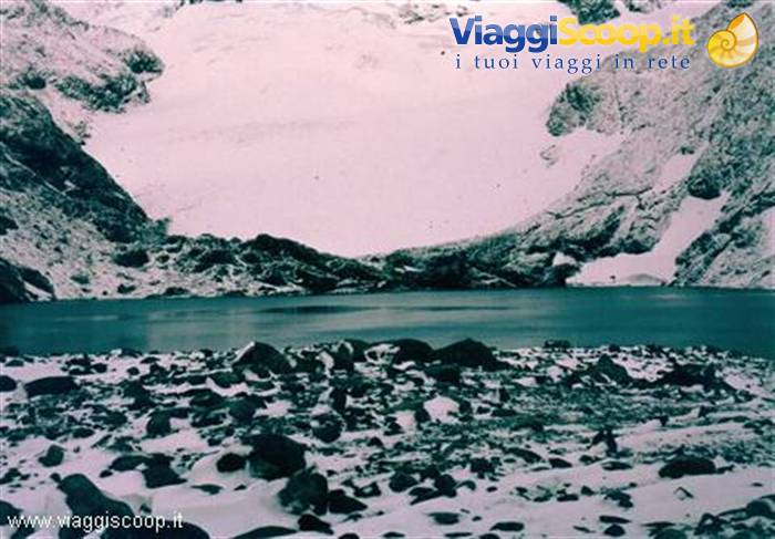
As we follow the trail that, in a steep climb, leads to the Laguna de Los Tres, it starts snowing again; as we climb, the landscape, growing whiter and whiter, takes on a particular charm and beauty. At 8.45 we reach the viewpoint; it's no longer snowing, but the Fitz Roy doesn't reveal itself; we can only admire the base and a section of the wall of the Cerro Poicenot. We are at a modest altitude, about 1100 metres, but the landscape is that of typical high mountain terrain: rocks covered in snow and, beyond the lagoon just below us, the glacier that leads to the start of the Fitz Roy wall; the temperature stays around 0 °C.
For many years it was believed that Fitz Roy, (Chaltén is the original name for the Tehuelche indigenous people), was a volcano; so believed Francisco Pascasio Moreno too when, in 1876, he saw it for the first time, misled by the clouds mistaken for smoke, which always crown its summit. To him we owe the current name; the explorer describes it thus: "... In a moment of clearing we see appearing among thick clouds the black cone of the volcano and a light column of smoke, rising from its crater. The Tehuelche have several times named this smoking mountain to me with superstitious terror. It is the Chaltén that vomits smoke and ashes and makes the earth tremble; may it serve as a dwelling for an infinity of spirits, who stir the entrails of the mountains.
Since this mountain has been mentioned neither by sailors nor by travellers, and since the indigenous people call it Chaltén, a name they also use for other mountains, I take the liberty of naming it volcano Fitz Roy, as a mark of gratitude that Argentines owe to the memory of the wise and energetic English admiral, who made known to geographical science the coasts of South America". In the early afternoon, around 13, we set off for the De Agostini camp, located near Lake Torre, 200 metres lower than the previous one. The weather stays unsettled; it isn't snowing, but at times a bothersome drizzle accompanies us. At 17 we reach the camp, nestled in a sheltered spot under the trees. During the night it rains and the roar of a strong wind can be heard.
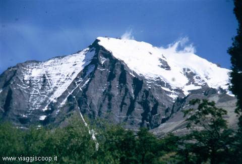
The Cerro Solo
Day 86 Feb 2000
Cerro Torre
Throughout the night it keeps raining and the wind shows no sign of calming; fortunately the camp is in a sheltered position. There's no point in getting up early with weather like this; we sleep until 7.30. At 8.30 we set off under a light drizzle with the aim of reaching the Cerro Torre viewpoint.
In a few minutes we climb the frontal moraine of the ancient glacier, which currently closes off the Torre lagoon towards the valley; once at the top, the trail continues along the crest formed by the moraine that flanks the lagoon; from this point, if visibility allowed, the view would sweep over the Cerro Torre, which is in front of us, just beyond the lagoon; unfortunately the clouds envelop it and prevent us from seeing it; on the crest where we are, a wind of such force is blowing that it's hard to stay on our feet; at times it's necessary to cling to a boulder or lie down on the ground to avoid the risk of being swept away.
We stay a few minutes on the spot, knowing that the Cerro Torre is there, a few hundred metres away, without being able to admire it; deeming it dangerous to continue with such a wind, we head down towards the camp, disappointed at not having been able to enjoy the view of the most famous mountain in all of Patagonia. The famous Austrian mountaineer Heinz Zak, whom we met at the De Agostini camp together with a climbing partner, tells us he has been in the area for three weeks, waiting for favourable weather to attempt a new route on the Cerro Torre; he says that in this period he has been able to admire it no more than 5 or 6 times, and only for 5 minutes; this partially consoles us. At 13, having taken down the camp, we set off to return to El Chalten where, at 18, the bus that will take us back to El Calafate awaits us.
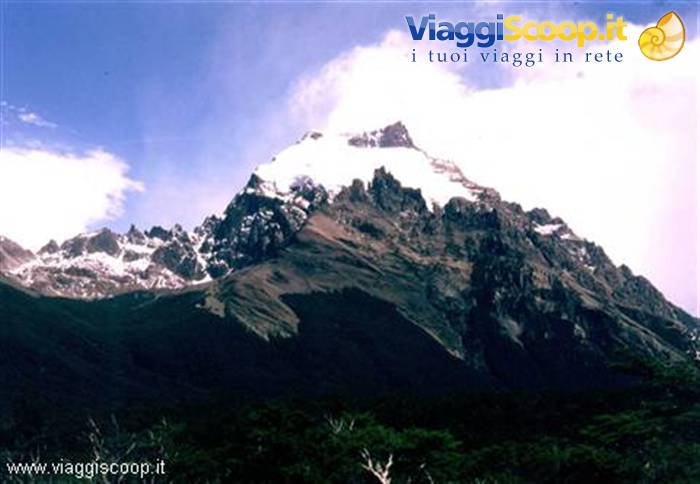
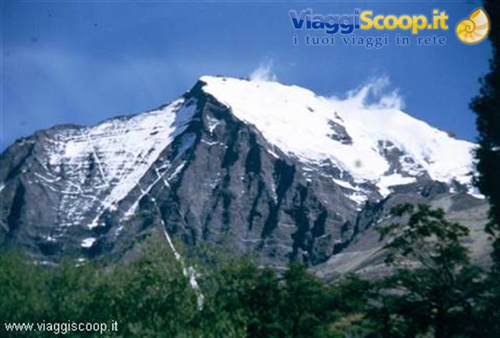
During the descent the weather clears and on our right we see a beautiful mountain, the Cerro Solo (2121 metres) which, as its name suggests, rises isolated from all the others. The Fitz Roy too lets itself be admired in the distance; we even manage to photograph it: to think that yesterday we were at its feet and didn't manage to see it! Only the Cerro Torre, in its superb majesty, denies itself to our sight. During the 4 hours of bus travel that separate us from El Calafate we admire the Patagonian plain, immense and boundless spaces, the same ones that attracted the attention and interest of Darwin.
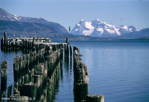
Puerto Natales with Cerro Balmaceda in the background
Day 97 Feb 2000
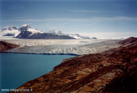
The Upsala Glacier
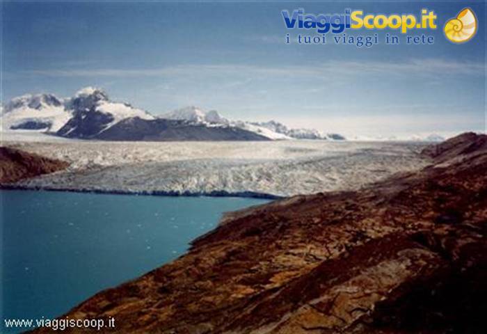
A day dedicated to visiting the Upsala glacier. Departure at 7.30 by bus for Punta Banderas, located on the shores of Lake Argentino, west of El Calafate; from here, at 9, by boat, we head up the northern branch of the lake until we reach, after 2.5 hours, Bahía Cristina. The day, contrary to the past few days, is very beautiful; the crossing, made among floating icebergs, gives us a magnificent view of the mountains and glaciers that surround the lake. At 11.45 we set off on foot for a trek of about 2.5 hours that leads us to the Upsala glacier. During the walk we can admire, on our right, the Cerro Norte (about 2700 metres) which, with the help of a clear, cloudless sky, displays in all its splendour the terminal glacier.
Suddenly it appears to us, in a breathtaking vision, the glacier, perhaps the largest in the entire southern cordillera; it has an area of 595 km² and extends for about 60 km, from the Cerro Don Bosco to the Upsala branch of Lake Argentino, on which it presents its front, 6 km long and varying in height from 60 to 80 metres. It is fed by several smaller side glaciers, forming in total a basin of about 1000 km². It owes its name to the Swedish city of the same name, whose university sponsored, at the beginning of the 1900s, the first glaciological studies in the region. In 1952 it was crossed for the first time by an expedition led by Colonel Emiliano Huerta and the engineer Mario Bertone.
The gaze sweeps over the chains of snow-covered mountains that surround it and, in one's thoughts, one would like to stop time to be able to enjoy such beauty endlessly; unfortunately the boat awaits us at 17 at Bahía Cristina for the return.
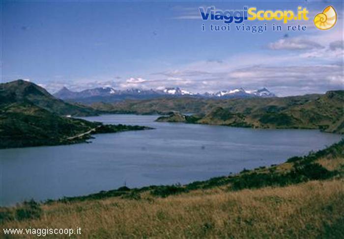
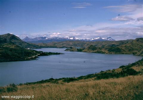
Lake Pehoe
Day 108 Feb 2000
Puerto Natales - Chile
Today we leave Argentina to move to the Chilean part of Patagonia. Departure by bus at 7.30 a.m. bound for Puerto Natales, where we arrive at 1.30 p.m. Puerto Natales, 16,000 inhabitants, capital of the Chilean province of Ultima Esperanza, lies on the shores of the Seno Ultima Esperanza, which connects with the Pacific Ocean. In the afternoon, shopping with a visit to the town, which turns out to be very pretty, but with an urban layout devoid of imagination, as is the case with most of the inhabited centres of Patagonia, with the typical urban layout of Spanish tradition based on the "cuadra", where all the streets intersect at 90°. The weather is cloudy but not cold; thinking about the 6 days of trekking that await us starting tomorrow, we end the day with an excellent fish dinner at the restaurant Los Pioneros with a view of the sea.
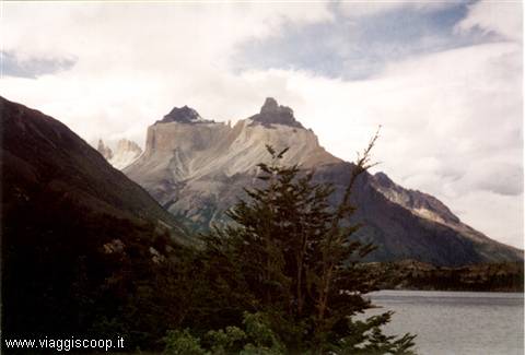
The Cuernos del Paine
Day 119 Feb 2000
The Cuernos del Paine
Departure at 7.30 a.m. by bus for Laguna Amarga, the entry point to Torres del Paine National Park (Paine, in the ancient Tehuelche language, means blue, perhaps referring to the abundance of bodies of water). The weather is good and the sky cloudless; already along the bus journey, driving alongside a small lake whose shores are teeming with pink flamingos, one can admire in the distance the slender outline of the towers. From Laguna Amarga we continue, still by bus, into the interior of the park, as far as Refugio Pudeto, on the shores of Lake Pehoe, where we arrive at 10.30 a.m. We have to wait until 12 for the departure of the boat that, in ½ hour, will take us to Refugio Pehoe, the starting point for the first stage of our trekking.
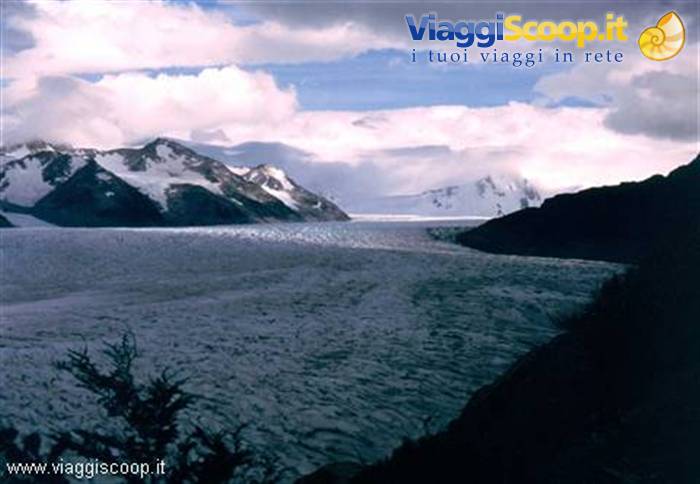
We take advantage of the time at our disposal to reach, in about 20 minutes, a waterfall that on the maps is marked with the name "Salto Grande"; it is a waterfall that is not very high but with a considerable flow, formed by a river that connects Lake Nordenskjöld, located at a higher level, with Lake Pehoe. At 12.30 p.m., having reached Refugio Pehoe, we take the trail that, in about 4 hours, will allow us to reach Refugio Grey, on the lake of the same name and very close to the front of the glacier of the same name. After 2.5 hours of walking uphill, we reach Lake Grey, on which countless icebergs that break off from the glacier are floating. The sight, already rewarding, is nothing compared to what we see after ½ hour when, at the far end of the lake, the front of the glacier appears.
A large island, half in the lake and half immersed in the ice, seems to split the front into two branches. The blue of the lake with the white of the countless icebergs forms a stupendous contrast with the green of the forest that reaches all the way to its shores; few times have I happened to admire such a suggestive landscape. We continue to skirt the lake and, at 4.30 p.m., we reach the refuge, near which we pitch our tents, on the shores of the lake. The beauty of the place amply repays the effort made to reach it. Unfortunately the weather changes and a light rain begins to fall. The temperature drops too, and the sultry heat that accompanied us all afternoon gives way to a rather cool, not cold, temperature.
Once the tents are set up and a frugal dinner consumed, taking advantage of the fact that the rain has stopped, I am writing these notes of mine, it is 8.30 p.m., sitting on a boulder on the shore of the lake, with before my eyes an enchanting landscape that one rarely admires in other places. I try to imprint it permanently in my mind because, despite the many photos taken, they certainly will not be able to do justice to so much beauty.
The Grey Glacier
Day 1210 Feb 2000
The Gray Glacier
Today we are not breaking camp; a hike in the area is planned with a return to Camp Grey. Departure at 7.30 a.m. bound for Camp Paso (5 hours of walking) and, if our will and strength allow it, Paso Garner (another 2 hours). The trail, passing through the forest, skirts the Grey Glacier, first reaching Camp Chileno and then Camp Paso. Numerous fallen tree trunks, some of considerable size, obstruct the march, forcing us to climb over them or go around them; this makes the hike slightly more difficult which otherwise, not presenting excessive changes in elevation, would be fairly easy and not very tiring. The forest at times blocks the view of the glacier, which, when visible, offers an unusual and beautiful panorama.
Having arrived at Camp Paso, only Giangiacomo and Luciano continue toward the pass on a trail that now climbs decisively; all the others, thinking about the 5 hours that await us to return to camp and about tomorrow's stage, which will see us once again with all our bags on our backs, prefer to stop. In the evening, back at camp, despite the 10 hours of walking, I do not feel particularly tired, also because they were done with a light backpack; inside me, however, I feel a slight remorse for not having reached the pass.
The Cerro Almirante Nieto
Day 1311 Feb 2000
The Italian Camp
Transfer stage to Campo Italiano, departing at 9:15. Retracing the route we did two days ago, we arrive at Refugio Pehoe. Stop for lunch and departure at 14:30 for Campo Italiano, where we arrive at 17:00 along a path that skirts Lake Skottsberg, with a view of the Paine massif. The camp is located on the left bank of the Rio del Frances and can be reached by a suspension bridge. Intending to take water from the river, Luciana slips on a wet boulder and ends up in it up to her waist. Nothing serious, fortunately, but she has to change and put her clothes out to dry.
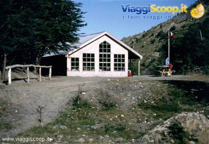
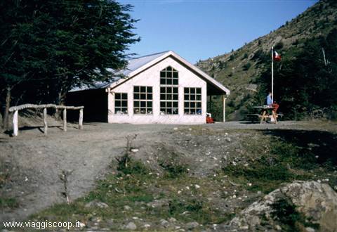
The Chilean Refuge
Day 1412 Feb 2000
The British Camp
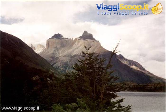
Wake-up at 7:00 and departure at 8:45 for Campo Britannico. Marisa, thinking about the second part of the stage to be done with a heavy backpack, prefers to spend the morning at the camp; Luciana, after about half an hour of walking, turns back because she has a fever; it's the aftermath of yesterday's dip in the river. With 2 hours of walking we reach Campo Britannico and, with another 15 minutes, the mirador located just above. The sky is clouded over by a few clouds, but the panorama is equally stupendous; the view spans 360 degrees over a large part of the Paine range, especially the Cuernos.
To the east are visible Cuerno Principal (2600 m), Cuerno Este (2200 m), Cuerno Norte (2400 m), Cerro Mascara, Cerro Hoja and Cerro Espada; to the north Cerro Fortaleza (3000 m), Cerro Escudo, Cerro Cabeza de Indio, Punta Catalina and Cerro Aleta de Tiburon (1717 m); to the west stand out Cerro Catedral (2168 m), Cerro 2000 and Cerro Castillo. Back at Campo Italiano and after breaking camp, around 15:00 we set off for Refugio los Cuernos. The refuge is 2 hours' walk away, which we cover on a magnificent path, not tiring because it is mostly gently downhill or flat; the right side skirts Lake Nordenskjöld while the left side is constantly overlooked by the Cuernos. From the camp, located near the lake, you enjoy a good view of the Paine massif; tomorrow we will also get to see the three towers that we have not yet admired.
We can clearly distinguish the two different rock formations that characterize the massif: the upper one, darker in color, formed of schist rocks, and the lower one formed of gray granitic rocks.
The Towers of Paine
Day 1513 Feb 2000
The Chilean Refuge
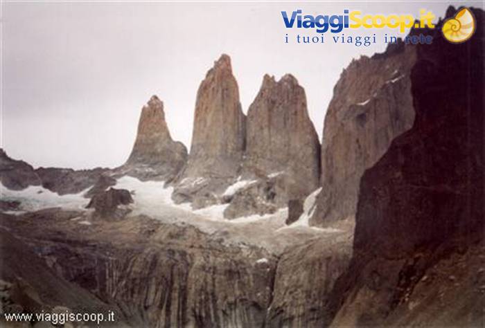
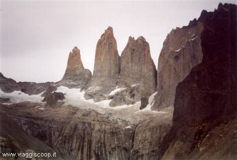
After breakfast and breaking camp, at 9:00 we resume the walk on the path that skirts Lake Nordenskjöld and then a small lake in which numerous ducks swim. At 13:00 we reach Hosteria las Torres, the planned destination for setting up the last camp; since it is still early, we decide to continue to Refugio Chileno to pitch the tents near the towers. A little more than an hour of walking, first steeply uphill and then downhill, allows us to reach the refuge. We did well to continue because from here we finally see, even if not in full, the Towers of Paine; they are three bold spires that give the park its name: Torre Sur or De Agostini (2850 m), Torre Centrale (2800 m) and Torre Norte or Monzino (2650 m).
The day is beautiful, the sun shining and warm, a blue sky provides the backdrop, and the sight of the towers is spectacular; the green of the forest at lower elevations and a crystal-clear stream flowing near the refuge complete the landscape. Once again I have arrived in a place of such beauty that it seems painted. Tomorrow we will get even closer to the towers. If the weather stays as clear as today, I cannot imagine the spectacle the towers will grant us.
Punta Arenas
Day 1614 Feb 2000
The Towers of Paine
We leave at 8:00 for the mirador of the towers. The day is beautiful, but not like yesterday; the sun is slightly dimmed. At first the path follows the stream through the forest and, after about 1 hour, emerges into the open and climbs steeply up the Acatreo moraine, amid a scree slope. Ahead of us we admire the peak of the towers; they will not be seen in full until we reach the mirador; this spurs us on to endure the fatigue of the climb. Around 10:00 we reach the top of the moraine and the towers reveal themselves in all their splendor; a small lake with floating blocks of ice lies at their base. With binoculars we spot two climbers on the Central Tower: they are more than halfway up the wall and are following a crack that cuts across the smooth granite slab; 50 meters below them we can make out the bivouac where they spent the night.
It seems almost impossible that two human beings can overcome such a smooth wall. The place where we find ourselves is of indescribable beauty and charm; one would want to stay forever enjoying such a view; unfortunately we have to go back down to break camp because, at 18:30, the minibus awaits us at Hosteria las Torres to take us to Laguna Amarga for the connection with the bus to Puerto Natales, where we arrive at 22:30.
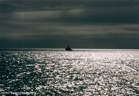
Crossing of the Strait of Magellan
Day 1715 Feb 2000
Back to Puerto Natales
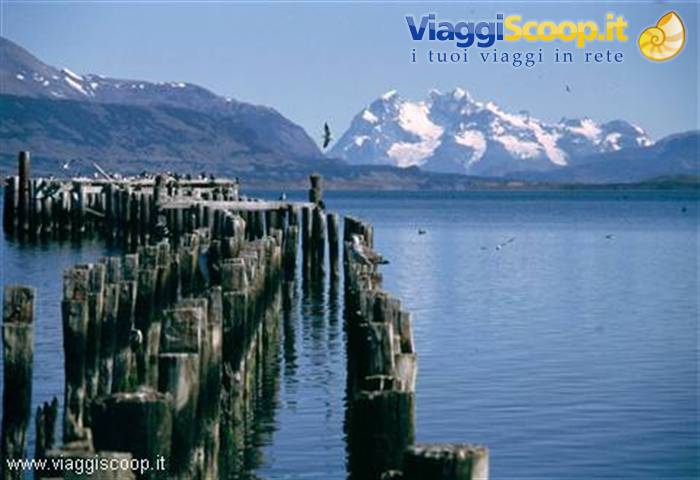
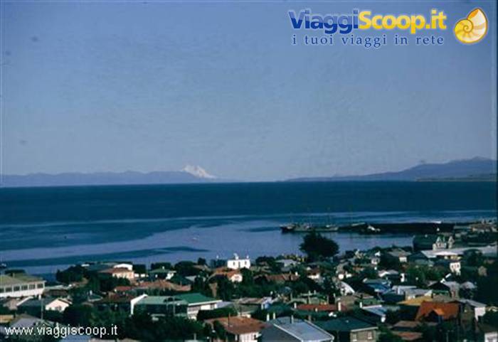
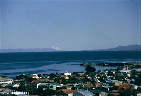
A morning of relaxation and shopping in Puerto Natales while waiting to board, at 13:00, the bus that will take us to Punta Arenas, on the Strait of Magellan. It is 10:30 and I am sitting on a rock on the shore of Seno Ultima Esperanza; the nearby rocks are packed with seabirds of the most varied kinds: swans, cormorants, gulls and others unknown to me; in the distance the sound is surrounded by chains of snow-capped mountains, among which Cerro Balmaceda stands out. The view may not have the charm of that of the Towers of Paine, but it is very relaxing and evocative; the harsh and wild landscape of the past days is replaced by a tranquil and gentle panorama. At 16:30 we arrive in Punta Arenas, 112,000 inhabitants and capital of the Región de Magallanes y Antártica Chilena; free afternoon to visit the city.
From the mirador there is a splendid view of the strait and, in the distance, Tierra del Fuego can be glimpsed. The day ends with a dinner of fish soup and roast lamb.
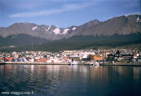
Ushuaia
Day 1816 Feb 2000
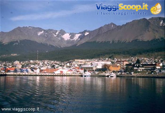
Ushuaia and Tierra del Fuego
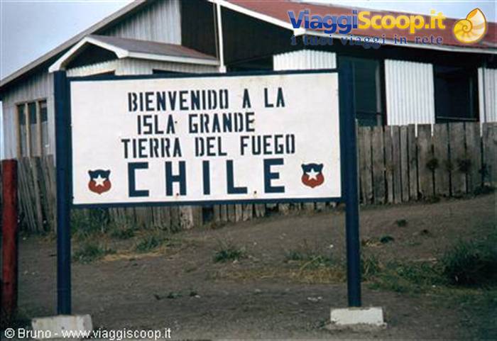
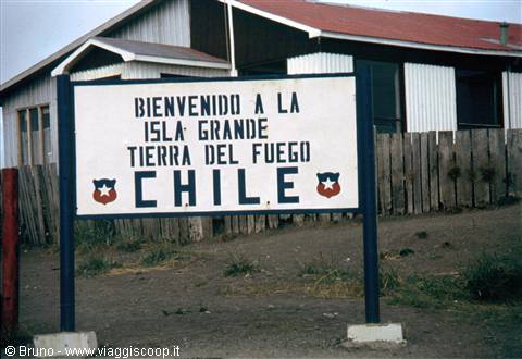
At 7:00, by bus, we reach Punta Delgada to cross the Strait of Magellan and reach the mythical Tierra del Fuego which, wrapped in an aura of mystery and adventure, is the southernmost tip of the American continent, at the gateway to Antarctica. Tierra del Fuego consists of a vast archipelago, made up of thousands of islands, that extends between the 52nd and 60th parallel of south latitude and between the 64th and 76th meridian of west longitude; its name derives from the many fires that the natives used to light and which were sighted by ships passing off its coasts; administratively it is divided between Chile and Argentina. Of the thousands of islands that make it up, only Grande, Navarino and Dawson are inhabited; all the rest are desolate and perpetually swept by wind and rain.
It was discovered, like the whole of Patagonia, by Magellan in 1520, but for many years this remote southern region aroused little interest among the European powers; the first exploration and gathering of information is owed to the Englishman James Cook and the Frenchman Louis Antoine de Bougainville in 1769. Both were struck by the appearance of the natives and their living conditions.
Cook describes them thus: "...In a word: they are perhaps the most miserable creatures now on earth." Even the image given by Bougainville is no better: "...small, ugly, thin, with an unbearable stench; they are almost naked, having for clothing only ugly skins..." When Captain Fitz Roy, a deeply religious man, had his first contacts with the natives, moved by the desire to spread civilization in those remote lands, he took four natives aboard and brought them to England to have them educated according to Anglo-Saxon customs before returning them to their people. Thus four natives set sail aboard the Beagle and lived for two years in England, where they were even received at court. When, in 1831, the Beagle put to sea again with the young Darwin also aboard, only three were returning to their native land because the fourth had died of smallpox in England.
They were educated, had learned English and acquired rudiments of carpentry and agriculture. They were left on the island of Navarino where huts were built for them. When Fitz Roy returned the following year, the huts were still there, but there was no trace of the occupants. The Beagle fired a cannon shot to announce its arrival; several canoes appeared and, aboard one of them, were the three natives, naked and with hair down to their shoulders. Once aboard they dined with their old companions, but declared that they would not return with them because this was their land and they no longer wanted to hear about civilization. For Fitz Roy it was an enormous disappointment, but for Darwin the facts were clear: one could not interrupt the course of nature hoping to succeed. Races can survive only if left free to follow their own evolution; to interfere means to cause their disappearance.
Having disembarked in Tierra del Fuego we encounter a landscape that immediately appears barren, treeless, a true desert with immense spaces without any sign of human presence, much wilder than the plains encountered in Patagonia; I can understand much better how these arid deserts managed to imprint themselves so strongly in Darwin's memory. At 16:00 we arrive in Rio Grande (35,000 inhabitants); we are back in Argentina; the connection for the bus to Ushuaia is at 19:00, so we manage a brief visit to the city which, at first glance, appears decidedly unattractive: flat, bare, dusty and windswept, but with many points of interest to be sought in the history and natural beauty of the surroundings. Moving south, the landscape gradually transforms; the first waterways begin to appear and, consequently, the first trees.
Arriving near the hills it changes radically: the desert encountered in the north of Tierra del Fuego turns into green woods and blue little lakes; the area of Lake Fagnano and Laguna Escondida is stupendous, encountered a few dozen km before Ushuaia, where we arrive at 22:30. Ushuaia (founded in 1884, 30,000 inhabitants), capital of the Argentine province of Tierra del Fuego, located on the Beagle Channel, is the southernmost city in the world: 54° 46' south latitude.
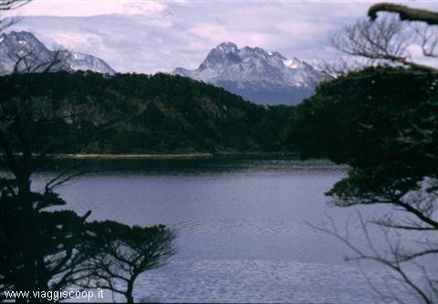
Tierra del Fuego Park - Lapataia Bay
Day 1917 Feb 2000
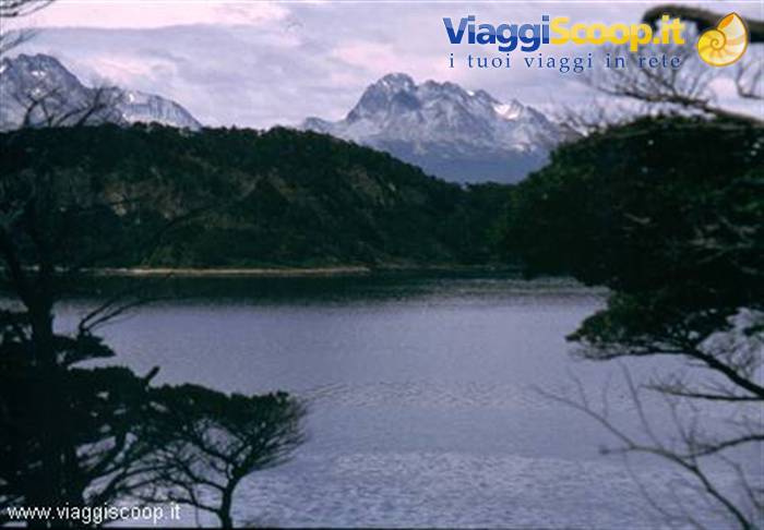
Tierra del Fuego National Park
Luciano, lucky him, leaves us to board an icebreaker where an 11-day cruise in Antarctica awaits him. For everyone else the day is devoted to an excursion in the Tierra del Fuego National Park. Departure by bus at 9:15 for the park; the minibus drops us on the shores of Ensenada Bay, on the Beagle Channel, and will come back to pick us up at 19:15 at Lake Roca. With a leisurely walk along a path that alternates stretches through the forest with stretches that skirt the sea, we reach Lapataia Bay where colonies of beavers live. The beavers do not show themselves, but the dams they build on the waterways during the night are noticeable.
The Tierra del Fuego National Park, created in 1960 and whose entrance is located about 20 km west of Ushuaia, is characterized by chains of mountains interrupted by lakes and deep valleys, in a landscape that varies from the severity of the mountains and the enchantment of the glaciers to the spectacular Beagle Channel which, in its more than 20 km of length, includes the deep Lapataia Bay and numerous other coves.
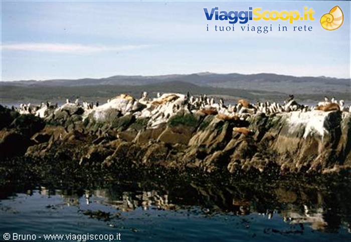
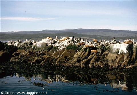
Cormorants in the Beagle Channel
Day 2018 Feb 2000
Buenos Aires
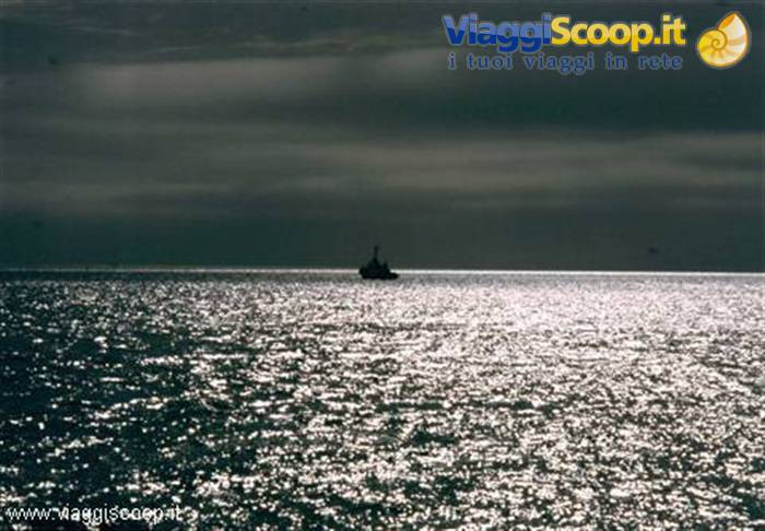
Unfortunately this evening at 19:00 we will leave Tierra del Fuego on a flight that will take us back to Buenos Aires. We still have time, in the morning, for a boat excursion on the Beagle Channel to admire, besides Ushuaia from the sea, the numerous colonies of seabirds that nest on the islands of the channel. The islands in front of Ushuaia were named Bridges in 1882 by Captain Martial and each bears the name of one of the then children of the pastor Thomas Bridges: Despard, Lucas, Willie, Alice and Bertha. Further south are the Lawrence, Whaits and Cole islands, named after the first missionaries; on Isla de los Lobos, located near Les Eclaireurs Lighthouse, you can observe one of the few colonies of sea lions still existing in the channel. Les Eclaireurs Lighthouse marks the entrance to the port of Ushuaia and recalls the place where, in 1930, the ship Monte Cervantes was wrecked.
From the channel you can also see, in all its verticality, Mount Olivia which overlooks the bay of Ushuaia and which was first climbed by De Agostini in 1913.
Arrival at Isla Grande in Tierra del Fuego
Day 2119 Feb 2000
Heading Home
The flight to Italy will depart this afternoon at 15:30. We devote the morning to visiting the famous La Boca neighborhood, one of the main tourist spots in Buenos Aires. It became populated in the second half of the 19th century thanks to the impetus given by immigration, especially of Italian origin, which gave it a typical character: low houses of wood and corrugated sheet metal, painted in light colors. In this neighborhood the melody of tango is a constant: strolling among the stalls, where artists display their works, you hear it played everywhere. Another characteristic of the neighborhood is the Caminito, a small street, only about a hundred meters long.
Originally it was a dead-end railway track, but thanks to the initiative of some residents of the neighborhood and several artists, it has become a picturesque street, without sidewalks or doorways, but with many windows and balconies, decorated by the leading Argentine artists with very showy designs and paintings. Conclusion Most people, when they hear about Patagonia, think only of its great glaciers and its famous peaks. Instead, one must know how to look at Patagonia and Tierra del Fuego without the "blinkers" of mountaineers. Mountains alone do not convey the grandeur of those lands, which are also made of boundless plains, of an immense sky swept by the winds of the Pacific and crossed by trains of clouds. The mountains are only a small part of those places; they dwell surrounded by a unique and endless horizon.



0 reader comments