Guides: Kompass 649 Altopiano della Paganella Dolomiti di Brenta; Andalo Molveno Fai della Paganella Dolomiti di Brenta Walks and Trails (bought at the information office; € 1 with receipt!)
Molveno has been awarded the Italian Touring Club Orange Flag. This recognition is a tourism and environment quality mark conferred by the TCI on small inland Italian towns (maximum 15,000 inhabitants) that stand out for excellent offerings and quality hospitality.
Hotel Gloria
Via Lungolago, 15
38018 Molveno (TN) Tel 0461/586962
Friday 20/06
Rome > Rovereto. in the afternoon wandering through the streets of Rovereto in the company of Uncle Alex.
Saturday 21/06
M Molveno > Rovereto A Settling in and discovering the village
Sunday 22/06
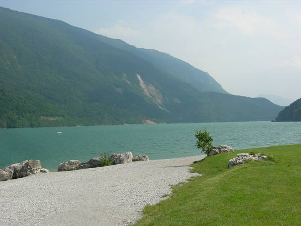
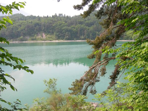
M/A Molveno; Roman Bridge; Napoleon's Forts; Lake Loop (3h30; 11km; minimal elevation gain; very easy) NOTE: the Roman bridge can't be seen (or maybe we just didn't see it). as for the forts, they are near the private house located shortly after taking the reference trail. not only is very little left, but you also need to know where to find it (we gave up and discovered it while talking to our hotelier). A Molveno; Baita Ciclamino; Shrine of S. Antonio; Molveno (1h30; 3.5km; minimal elevation gain; very easy) NOTE: it's not clear where trail 319 starts, perhaps from the car park 500 metres from the Baita. the first stretch (Molveno/car park) is all asphalted road. better to reach the hut by taking the S. Antonio walk.
Monday 23/06
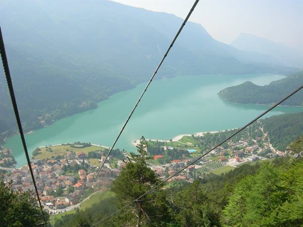
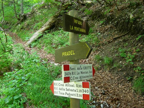
M Molveno (890m); Rif. Pradel (1370m); Malga Tovre (1460m); Rif. Montanara (1525); Rif. Croz dell'Altissimo (1430m); lunch NOTE: for the Molveno/Pradel stretch (from 890 m a.s.l. to 1370) we took the cable car (one way only), from which you can admire the lake in its full extent. a really fun ride up. at Malga Tovre we stopped at the Educational Farm (unfortunately TEO is sound asleep and doesn't see the animals). the Malga Tovre/Rif. Montanara stretch is very short but with a rather steep climb. for the Montanara/Croz Altissimo stretch we took trail 340B (the caves trail) and 340 (seghe del marilon) (1h10; elevation gain 137; easy/medium; we recommend this route since the reverse, uphill all the way, is much harder to walk). A Rif.
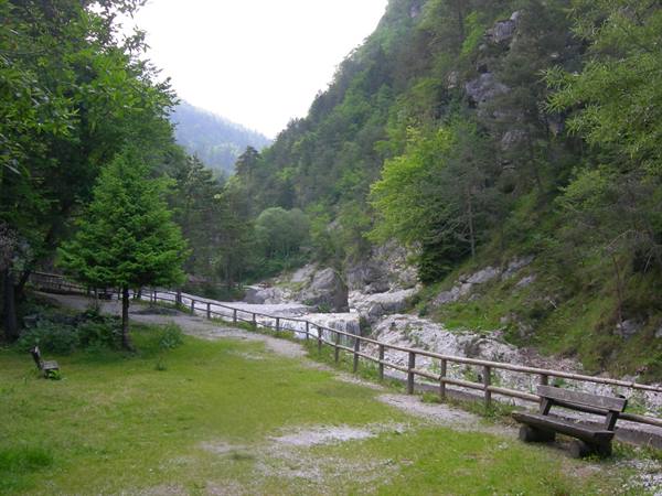
Croz dell'Altissimo (1430m); Baita Ciclamino (626m); Molveno and a swim in the lake NOTE: for the Croz Altissimo/Molveno stretch we took trail 322 and trail 319. a long and pleasant descent towards the lake shores on easily walkable white road. a foot soak in the Masso Torrent is almost compulsory.
Tuesday 24/06
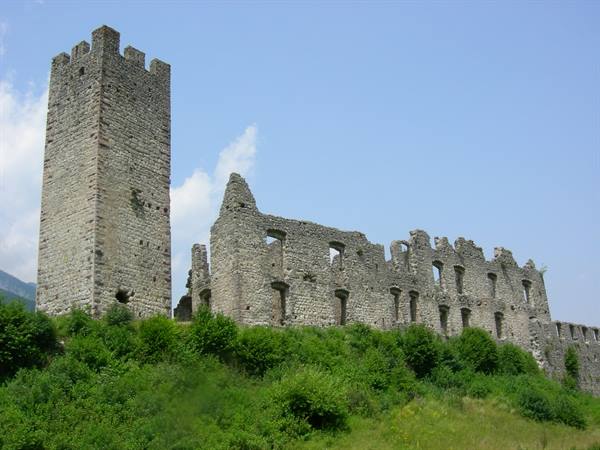
M Spormaggiore Bear Area; Castel Belfort NOTE: it's best to park the car at the Bear Area itself. the route from the village car park is rather awkward, especially since it's all on asphalt. there are bears in the enclosure (three of them) but they seem rather bored by the visitors. the ticket price is worth the show on offer (truth be told, rather sad). worth doing only if you've never seen bears up close. the view and above all the interior visit of Castel Belfort are quite striking. A Mini Golf Tournament Molveno
Wednesday 25/06
M Molveno (890m); Rif. Pradel (1370m); Malga Tovre (1460m); Rif. Montanara (1525); lunch NOTE: today Grandma Ramona and Uncle Alex came to visit us. we return to Malga Tovre (cable car round trip) where TEO, this time wide awake, enjoys all the animals at the Educational Farm. the stop includes a milk tasting and the decision to come back in the afternoon for a snack with the yogurt, also produced on site. the usual steep but short climb towards Rif. Montanara. A back to Molveno NOTE: before taking the cable car again we stop for a well-deserved snack at the Educational Farm. we get yogurt (decidedly better than the milk) and cheese (good according to CAT and Uncle Alex). TEO makes no distinction and as always tastes everything. the day ends with a short stroll along the lake. tomorrow we start walking again!
Thursday 26/06
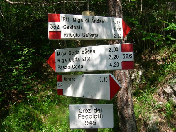
M Molveno (890m); Rif. Malga Andalo (1357m); Rif. Selvata (1657); lunch NOTE: the Molveno/Malga Andalo stretch (trail 332; 1h30; 3km; elevation gain 500; easy) although marked as easy is really very steep. we walk it slowly, without rushing, looking for the right rhythm. at Malga Andalo we discover that all things considered we weren't that slow and that we took only 15 minutes more than the signs predicted. the Malga Andalo/Rif. Selvata stretch (trail 332; 1h10;?km; elevation gain 300; difficult with the Donini trail, for a very exposed stretch of path) is marked as difficult and recommended only for experienced and well-equipped people. we set off, perhaps a little too recklessly, comforted by the words of our hotelier who plays down the guidebook's indications. in hindsight we can only partly agree with him.
a via ferrata route always remains treacherous, especially when you're carrying a child on your back. to say we tempted fate is perhaps too much; let's say we got lucky. A Rif. Selvata (1657); Baita Ciclamino (626m); Molveno NOTE: a very calm and easy route back through the Valle delle Seghe (trail 319; 1h45;?km; elevation gain 831; easy) which leads us to a most delicious and well-deserved ice-cream snack.
Friday 27/06
M Molveno (890m); Andalo (1040m); Doss Pelà (1776m); Passo di S. Giacomo (1963m); Malga Covelo (1824m) A Passo di S. Giovanni (1674m); Molveno (890m)
Saturday 28/06
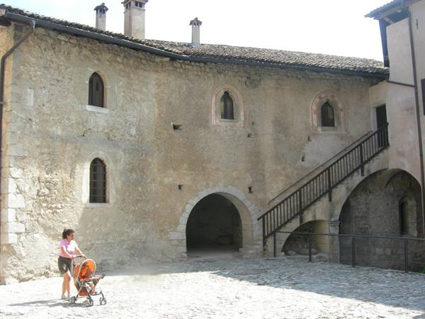
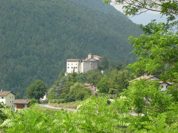
M Castel Stenico A Castel Drena a day devoted to visiting two castles in Trentino. our passion for the Middle Ages doesn't let us leave without adding a couple of visits to our very own album. at the foot of the Brenta group, Castel Stenico dominates the middle Sarca valley from a rocky knoll. Castel Drena crowns the top of the rocky outcrop overlooking the Rio Salagone.
Sunday 29/06
Molveno > Rome
THANKS to CAT for the wonderful week's holiday. THANKS to TEO for keeping us thoroughly entertained.
Day 127 Jun 2008
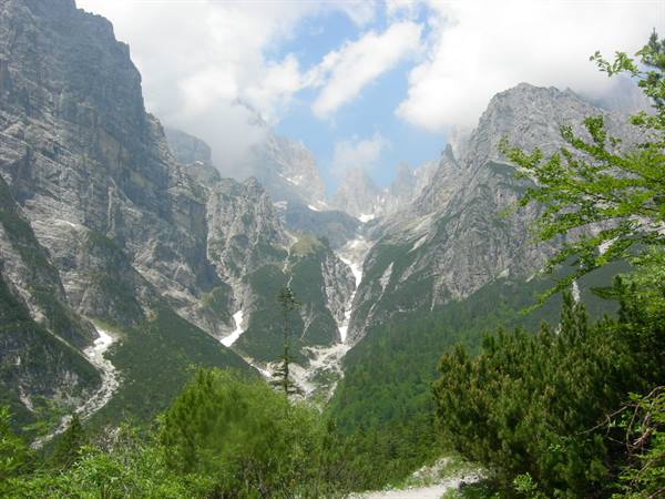
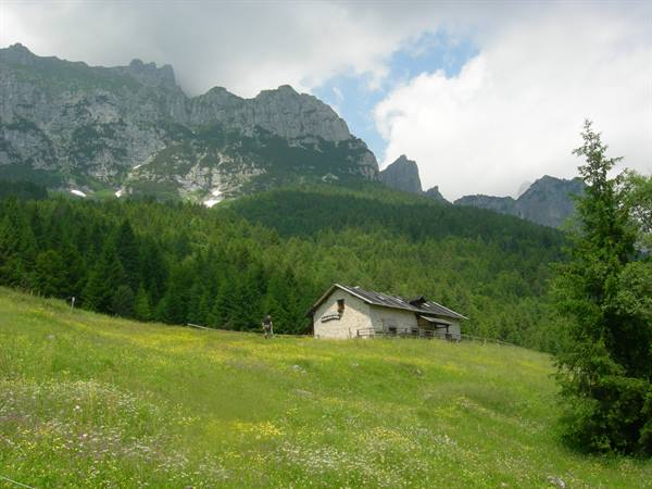
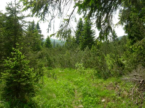
Friday 27/06 M Molveno (890m); Andalo (1040m); Doss Pelà (1776m); Passo di S. Giacomo (1963m); Malga Covelo (1824m) NOTES: route recommended by our hotelier for its particular view of the Brenta Group. we head to Andalo with the local bus (pay close attention to the timetables and schedules) and from here we take the one-way Andalo/Doss Pelà cable car (from 1040 masl to 1776). the Doss Pelà/Passo di S. Giacomo section (trail 610; 1h45;?km; elevation gain 183) is truly very striking and features unusual vegetation that strongly recalls the tundra. with the approach of Passo di S. Giacomo the weather turns uncertain and rather un reassuring big clouds begin to obscure the sun. we have been walking for a while but we nevertheless try to pick up the pace because the weather is becoming more and more threatening. we arrive at Passo di S.
Giacomo (1963m) and without hesitating we head toward Passo di S. Giovanni. the first thunderclaps make us realize that shortly we will find ourselves under the most classic of summer downpours; unfortunately we see no shelter where we can wait in safety. by now the rain is imminent, we feel the first drops falling. feelings of guilt about our recklessness, about our inadequate gear, about the fact that if there was sun the day before it doesn't mean there will be the day after, begin to undermine our mental clarity when we see not far away an inhabited malga (there are off-road vehicles parked). by now it is raining, not pouring but raining, when we arrive at the doorway and ask for shelter. at Malga Covelo (1824m) we are welcomed with a smile by an Indian herder from Punjab. He is surprised by the account of what we have done and of what we must do to get back to the hotel.
perhaps for this reason he comforts us about the brevity of the shower which meanwhile has begun to unleash itself. we stay chatting while TEO has lunch with the few things we took for him. CAT and I postpone lunch since the refuge marked near Doss Pelà turned out to be sadly closed. when a half clearing appears among the clouds we resume our walk toward Passo di S. Giovanni. P Passo di S. Giovanni (1674m); Molveno (890m) The weather seems gradually to improve however we think it is better not to tempt fate a second time. From Passo S. Giovanni we finally begin to descend toward Molveno (trail 612; 1h45;?km; elevation loss 784). 784 meters of descent on a steep trail and at times covered with vegetation do not help to ease the tiredness we have in our legs. but by now we walk by inertia and in the end even the 612 is swallowed under our well-tested boots.
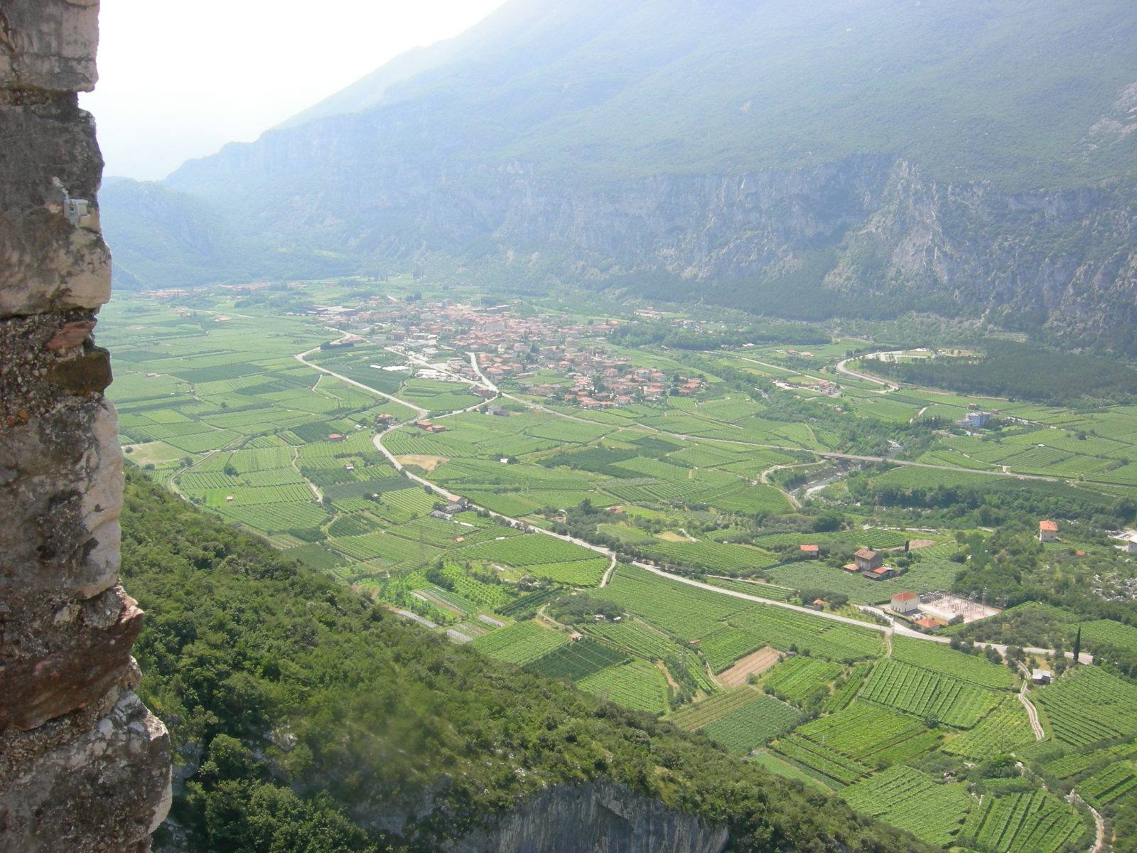
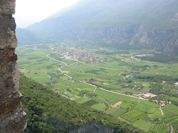
Vineyards and village on the valley floor seen from the stone fortress





0 reader comments