The story
THE RIDRACOLI DAM
Maximum altitude Monte Falco 1658 m a.s.l. Area: 36,400 ha
Useful numbers: IDRO Ecomuseum of the Waters of Ridracoli BAGNO DI ROMAGNA Municipality: BAGNO DI ROMAGNA Address: Borgo di Ridracoli - 47021 Bagno di Romagna (FC) Telephone: 0543.917912 Fax: 0543.903733 Email: ladigadiridracoli@atlantide.net
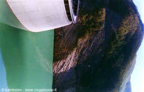
The dam closes a narrow point of the Bidente valley, a couple of kilometres upstream of the village of Ridracoli. The artificial reservoir winds for more than 3 kilometres inside the Casentinesi Forests, Monte Falterona and Campigna National Park. The great barrier was built by the Consorzio Acque between 1974 and 1982, but the project of giving water to thirsty Romagna (especially that of the plain and the coast, afflicted by a historic water shortage) by making it flow downstream from the green, gurgling streams of the upper Apennines, was born much earlier, indeed in the 2nd century AD, when the emperor Trajan had an aqueduct built that carried water from Meldola all the way to Ravenna. The Consorzio Acque, joined by the 50 municipalities interested in the water supply, however, has a more recent origin: it was in fact set up in 1966.
The study and design of the Romagna Aqueduct, which would give rise to the dam and the artificial lake, began in the early 1960s. Once the dam barring the Bidente river was built, the reservoir was filled, and what was once a green gorge became a lake. The water of the reservoir reached its maximum level in January 1986, giving rise to the grandiose spectacle of its first overflow from a height of more than 103 metres. Along with the dam, a broad programme of environmental enhancement and protection was launched, leading to the renovation and revitalisation of the small mountain centres and the surrounding valleys, which gained in environmental and tourist value.
The panoramic square
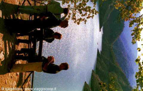
Above the reservoir, reached by a recently built road, a large square hosts a bar and some facilities for picnics or a stop. From its height you command the panorama of the lake and the dam.
The lake
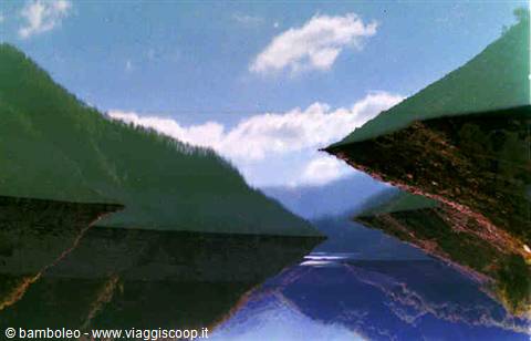
It is a large basin of green, cool and serene water that spreads over an area of just over one square kilometre (1.035 sq km), for a water volume of 33 million cubic metres. It is populated by a diverse fish fauna, ideal for sports enthusiasts who can fish in a limited and controlled area of its shores. All around run trails and paths (a little higher up is the Sasso Frattino nature reserve and the Lama forest), in absolute silence broken only by the voices of the animals. The lake can also be navigated: a jetty allows, in the months from June to August, boarding for trips on the green water.
The dam
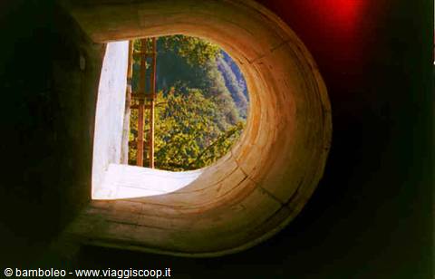
Imposing and vertiginous, 103.50 metres high and 432 wide, built according to the strictest principles of safety and environmental respect, it is monitored 24 hours a day by a staff of 11 technicians. Access to its galleries and its facilities is possible for everyone, individually or through organised trips. Like the surrounding area, for safety reasons and to guarantee the utmost respect for the environment, it is visited with the help of authorised guides. On 5 January every year, on the occasion of the "Festa della Befana", the dam becomes the destination of a night excursion.
The aqueduct
It starts from a main conduit that produces 3,000 litres per second, 33 kilometres long, and which connects 50 municipalities belonging to the managing body Romagna Acque S.p.A. Its tentacular conduits, visible in many parts of the territory, reach the provinces of Ravenna, Forli-Cesena, Rimini and the Republic of San Marino. At least a million inhabitants receive the water of the Ridracoli reservoir every day through their taps.
The journey's photographs
6 photographs · click to open them full screen


0 reader comments