The story
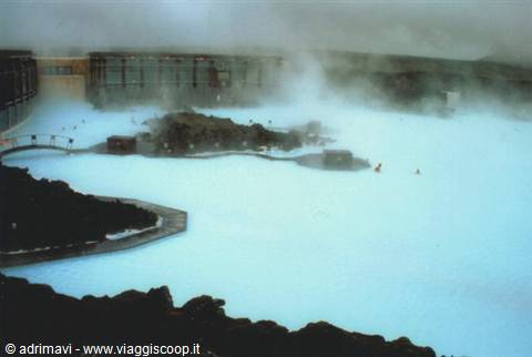
We arrive at Keflavik and immediately Iceland presents itself: gloomy weather, a light annoying rain and the incessant howling of the wind. Yet precisely these conditions are the most suitable for immersing oneself in the warm waters of the Blue Lagoon, already very evocative in itself, and even more so with bad weather. The Blue Lagoon is an enormous pool of water fed by the Svartsengi hydroelectric plant and heated by the lava underground. The water has a sky-blue colour because of the silica mud, white and slimy, deposited on the bottom of the lagoon. Because of the cold the clouds of steam rising from the pool are particularly majestic.
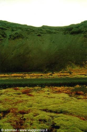
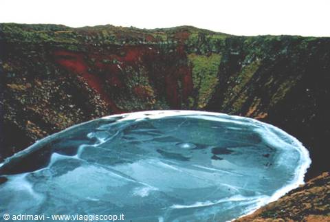
The Blue Lagoon is a unique experience, absolutely not to be missed! In what other place could you happily splash about, in a scenic pool surrounded by lava fields, at a temperature of zero degrees and in the rain? We leave the first of the many natural wonders to go and see others gathered in what is called "the golden circle". At Grindavik we first take road 427 and then the 42, which cross the Reykjanes peninsula. These are dirt roads, pitch black because of the volcanic soil. They wind, in fact, among stretches of lava covered by an unreal green mantle of soft moss and thick lichens. Having reached Hveragerdi the road becomes asphalted again and we join the "golden circle". The first attraction we come across, obviously natural, is the Kerið crater, about fifty metres deep and a hundred in diameter.
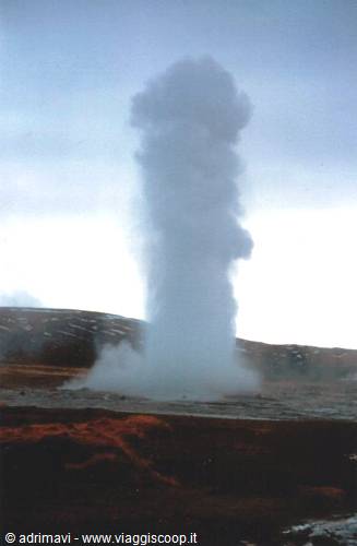
Inside, the lake is completely frozen, the walls have shades of black, red, green, brown and yellow. We pass the diocese of Skalholt and reach, shortly before sunset, the Gullfoss waterfalls, the greatest tourist attraction in all of Iceland. The feature, besides the enormous mass of water, is a double drop, the second of which plunges into a frightening canyon 70 metres deep. Seven kilometres further south is Geysir, an area full of springs from which hot water gushes. Here you can witness, roughly every ten minutes, the eruption of Strokkur, which shoots jets of steam up to a height of 30 metres. The spectacle is visible even from afar along the road, but when we arrive it is by now dark; we will visit the geothermal field of Geysir, from which the international word "geyser" originates, the next day.
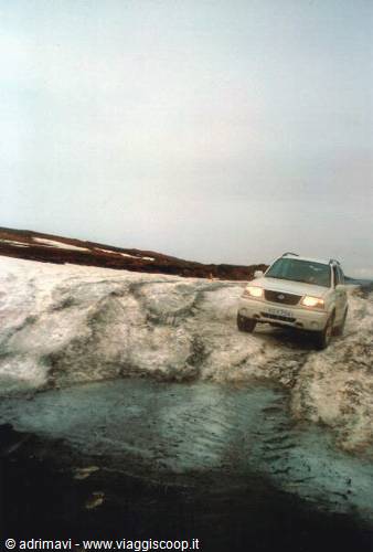
At dawn, that is at 08:30, we witness three steam eruptions of Strokkur and observe up close some pools in which the water boils so much as to create little jets ten, twenty centimetres high, as in the case of the Litli geyser. We leave Geysir heading for Þingvellir. Road no. 365 is barred by a barrier with an emblematic sign: "closed". Indifferent to the warning we carry on, but after a few kilometres we are forced to turn back. Piles of snow prevent us from continuing. We are then forced, to reach Þingvellir, to take national road no. 36, which we wanted to avoid, since the detour entails a considerable lengthening. Þingvellir, a little disappointing, is a rocky place of primary importance for Icelanders. Here, back in 930 AD, the Althing was established, the first Icelandic parliament.
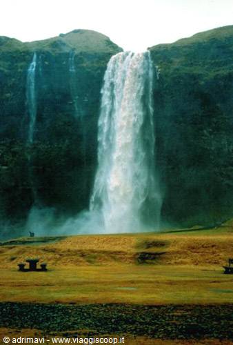
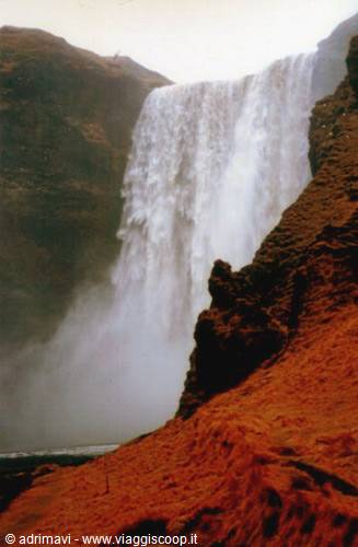
It is worth walking the path that winds through the Almannagjá gorge, if only for the thrill of walking along the tectonic fault that each year separates the American continent from the European one by a few millimetres. It keeps raining; along the road we do not meet a single vehicle, and the metaphor so often abused of "not a living soul" in our case is absolutely no exaggeration! The pouring of the rain together with the noise of our 4x4's engine is interrupted, twice and within the short stretch of a few kilometres, by the roar of two forces of nature, the Seljalandsfoss and Skógafoss waterfalls, visible already from the Ring Road. At the first we approach, going right under it, indifferent to the spray of water since we are already soaked to the bone. At Skógafoss we climb the steep and short path that runs alongside it to observe the drop from above.
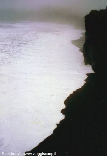
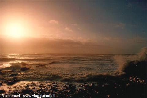
If the height of the waterfalls is not significant, the highest, the Skógafoss, measuring 60 metres, the water flow is, however, impressive. Before reaching Vik a detour on road 218 leads us, after about ten kilometres, to the Dyrhólaey cliffs, whose walls plunge more than 100 metres sheer into the sea. We stay in silence watching the frightening stormy sea whose waves come up to lap the cliffs. The water, drawing back from the black beach, leaves a white foam, presenting a scene that seems unreal. At Vik, the southernmost village in Iceland, we are enveloped in fog so that we have to give up the walk that leads to the viewpoint of the three sea stacks. The monotony is represented by solitude and isolation, the road continues to be our exclusive domain and to think that it is as if we were driving along the Milan - Rome motorway, yet the landscape changes continuously.
Now we are crossing a vast flat area characterised by sand, gravel and stones, the "Sandur", which will be the landscape feature up to and beyond the Jökulsárlón lagoon.
We spend the night at Kirkjubæjarklaustur. In the morning, by now it is nothing new, the low clouds limit visibility so much that we realise we are close to Vatnajökull only when we see at the edge of the road the pillar of one of the three bridges of the Ring Road destroyed by the flood caused by the 1996 eruption of Gjálp. The Icelandic government, as a testimony to other impending and sinister disasters caused by the force of nature, decided to leave it here. At Skaftafell Park we finally spot the glacier. A storm of rain and wind prevents us from doing the two hours of walking to reach the front of the Skaftafellsjökull glacier and the Svartifoss waterfall, but we will be rewarded by the Jökulsárlón glacial lake, dotted with icebergs coming from one of the fronts of Vatnajökull, to excite us.
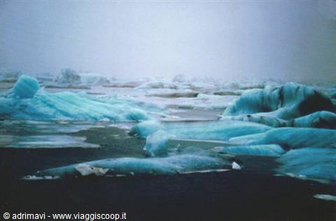
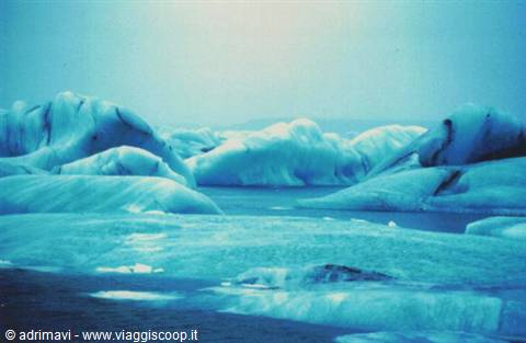
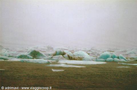
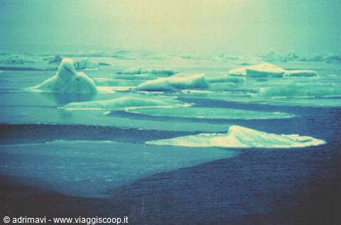
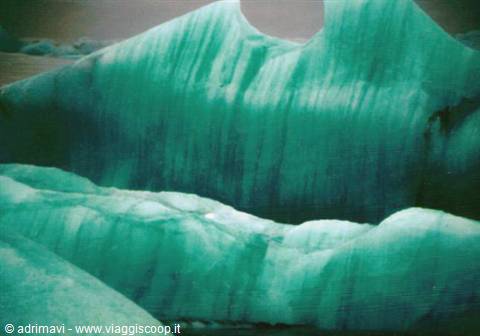
We witness before these icebergs, which float in the part of the lagoon closest to the sea and are, instead, trapped in the ice in the area near the glacier front, a spectacle that does not seem to belong to this world. The icebergs of the lagoon shine with a thousand shades: white, grey, light blue, blue and green. Having crossed the Ring Road bridge that crosses the lagoon, immediately afterwards we turn left, ford a small stream and skirt the lagoon as far as the ground conditions allow. We venture on foot onto the frozen lake where the icebergs sprout up like mushrooms. We continue our journey on the Ring Road and arrive at Höfn. In the hostel completely at our disposal, we take advantage of the afternoon to rearrange our luggage and dry the things used so far. The idea of spending an evening out drinking a beer is abandoned after a short wander. The streets are deserted.
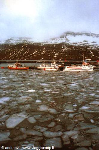
At Breiðdalsvik we find the Ring Road closed and are forced to continue to Egilsstadir along road no. 96 and skirt the fjords of Fáskrúðsfjörður and Reyðarfjörður. The detour, however, allows us to witness scenes characteristic of winter Iceland such as those of small harbours whose seawater is still partly frozen. At the end of the day, after having savoured for four days nothing but landscapes, we arrive at Egilsstadir, 1,800 inhabitants, the biggest town encountered so far
The journey's photographs
20 photographs · click to open them full screen




1 reader comments
Avventura grandiosa, complimenti anche per tutto il resto