The story
This morning first early start for the well-deserved excursions.... we set off from the archaeological site of Chichen Itza, before telling you the story of this splendid Maya site I would like to compliment our excellent guide: Efrain from Alamos Travel Service, he told us everything and more about the site we were going to visit and about the Maya, without ever being too heavy, in short he gave us a beautiful cultural day, if you are around Playa del Carmen and looking for a guide feel free to turn to him. and now a bit of history: before the landing of the Spanish conquerors in the region, the Yucatán was one of the most prosperous regions of the Maya empire and preserves some of the archaeological remains dating back more than three thousand years. The Maya cities of the region continued to grow after the decline of the cities of the central Maya area.
Some of these continued to be inhabited until the arrival of the Europeans. Others, such as Izamal and Merida (the state capital, formerly called T'ho) are inhabited still today. The state of Yucatán was one of the last to become part of the Mexican republic. In the 19th century some separatist currents promoted the independence of the Republic of Yucatán, which however had an ephemeral life. In the golden age of the Maya, Chichen Itza was the most powerful city of the Yucatan. A surprising people, of remarkable scientific level, who practised human sacrifices and worshipped the stars, the Maya, spread over the whole territory of Mexico - as far as Belize and Guatemala -, have never revealed all their secrets.
In particular, the reasons for the abrupt decline, in the 12th century, of the civilisations that succeeded one another for about 4,000 years, until the passage under Spanish rule, are unknown. However, the discoveries have brought to light the territory of the Maya, organised in city-states, independent or federated. Social organisation is the central element, witness to the way of life of the different ethnic groups in a universe full of beliefs, rigorously represented. Most of the temples formed a triangle perfectly aligned with the stars. The elite, made up of learned priests and astronomers, used them as a means to dominate the population on the occasion of eclipses (like the spring equinox, on 21 March). According to a precise calendar, the stars, the moon or the sun slipped into the interstices of the divine temples, generating plays of shadow and light.
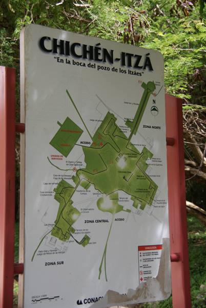
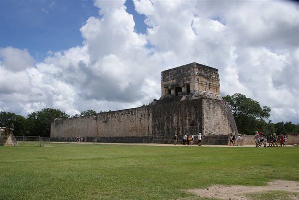
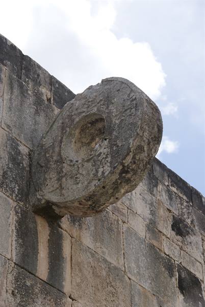
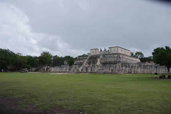
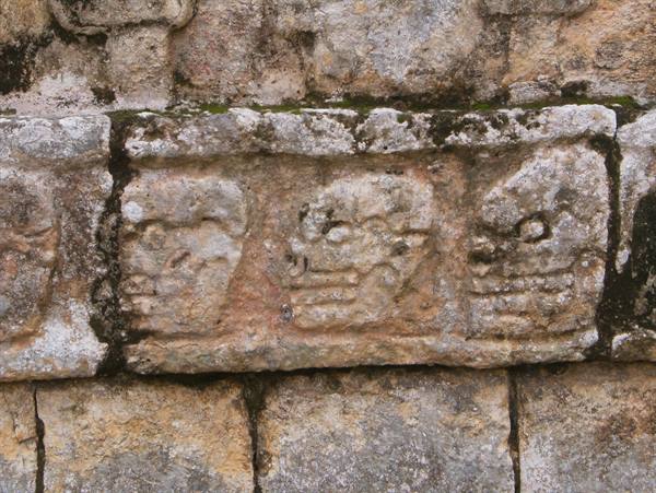
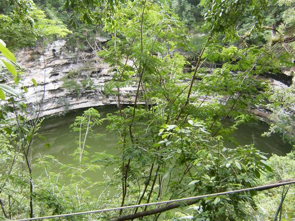
Starting from Chichen Itza, the Maya of the Yucatán peninsula, divided into three states _ Campeche, Yucatán and Quintana Roo -, have left as a legacy numerous cities. "Mouth of the well of the Itzi" is the meaning of the name of one of the most famous cities of the Maya world at its apogee, in the 6th century. Located 220 km from Cancun, in the state of Yucatán, Chichen Itza stood out as the cultural and political centre of the ancient civilisation of the Itza peoples and was one of the most extensive cities of the peninsula. Among its most important buildings are the Temple of the Warriors, the Group of the Thousand Columns, where the market was held, the platform of Venus, the Tzompantli, the Ball Game, the Snail, the Observatory or the Church.
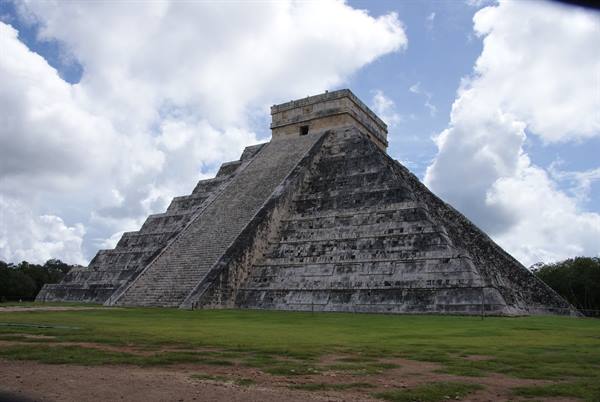
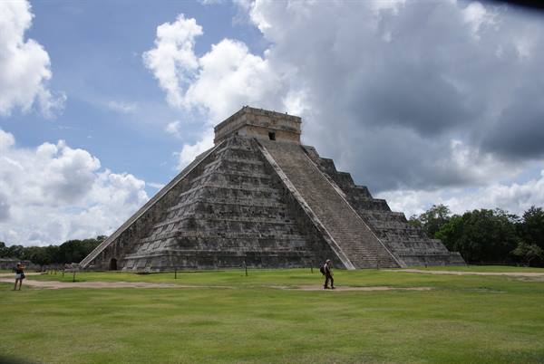
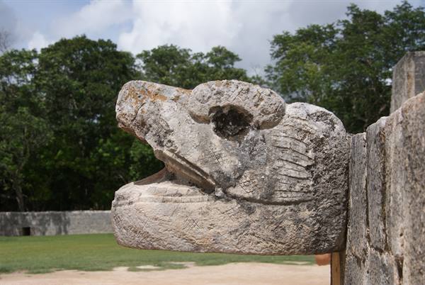
At the end of the 10th century, the city was invaded by the warrior tribe of the Toltecs, who brought a new series of cultural elements: the representation of the serpent-god Kukulcan, also called Quetzalcoatl or "Feathered Serpent". The spectacular Kukulcan pyramid, with four sides and 30 metres in height, topped by a temple, represented the calendar: 365 steps, 52 panels (one for each year of the Maya cycle) and 18 terraces, which represent the 18 months of the religious year. During the spring and autumn equinoxes, in March and September, the shadow of the sun projects the shape of an enormous serpent, which seems to descend on the facade of the pyramid called El Castillo; a spectacle that always fascinates the crowd. The power of this city was so great that many centuries after its abandonment, celebrations and ceremonies were still held there, before it fell back into oblivion.
The journey's photographs
12 photographs · click to open them full screen
0 reader comments